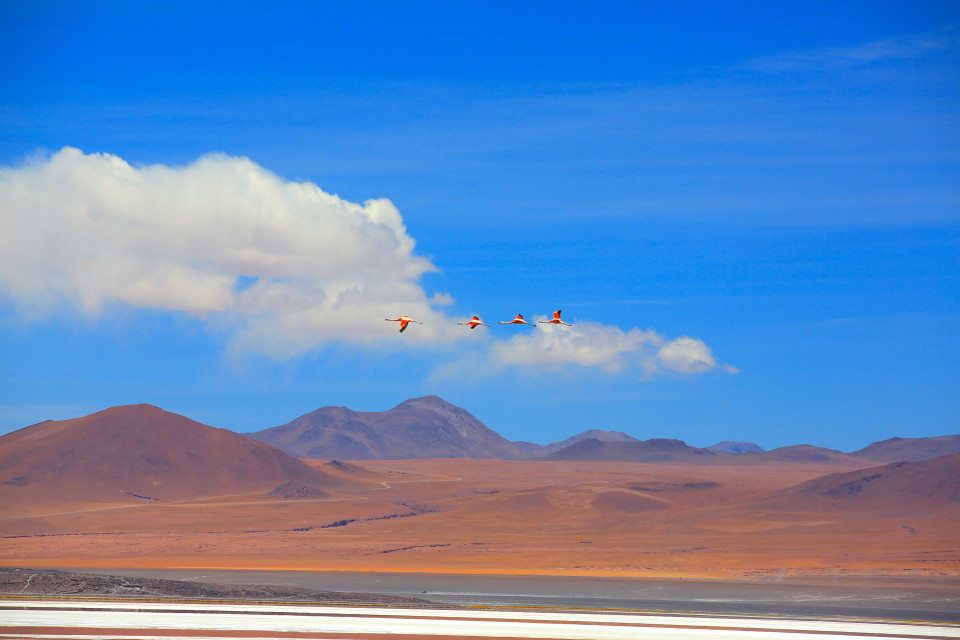
After our time on the Salar, we were headed to what is known as the “southwest circuit” in Bolivia — a series of dirt roads that wind through Reserva Nacional de Fauna Andina “Eduardo Avaroa” before dumping you out in the Atacama Desert in Chile. This part of Bolivia sits at around 14,0000 feet above sea level and is known for it’s extremes — low temperatures, high winds, stunning painted landscapes, and giant colorful lakes. Many people who drive the pan-american highway recall this area as a highlight of their trip. We had been looking forward to this for years, and were approaching it with a lot of excitement.
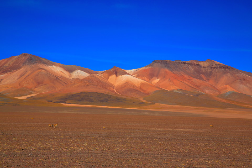
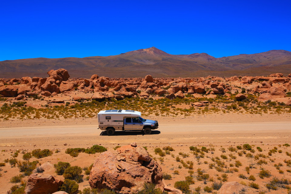
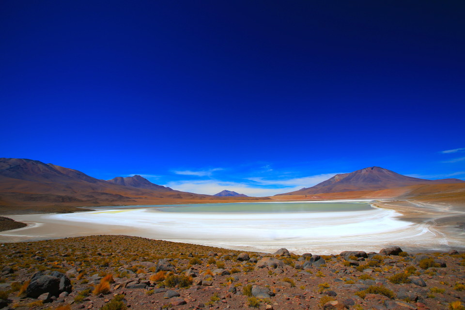
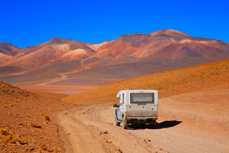
With scenery like this, it’s no wonder the southwest circuit is a highlight for many pan-american travelers.
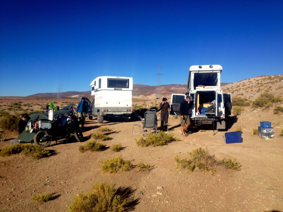
We left the Salar with our swiss friends — Michael and Simone in their Defender 90 and Karin and Marcus on their motorcycles. We headed south out of Uyuni and were on the road for only a couple of hours when we got a flat. It was late in the afternoon at this point, so Michael and Simone scouted the area for a campsite while I got to work on the tire.
What I saw wasn’t good. This was the same tire that had caused us trouble before up in Peru. The tire was ripping again. There was a tear about one inch long in the tread. There was no way I was going to be able to patch it; I’d need to swap it out for our spare. I went to work and had the spare on in no time, and before long we were at a nearby campsite that Michael had found.
I was nervous that night. I knew the tire wasn’t looking good, and here we were, about to enter some of the most punishing roads of the entire trip. The reality was quickly sinking in for me that we were playing a dangerous game going into this area with 4 worn-out tires that might not be up to the task.
The next morning we rose early and drove on towards a little town and had our tire patched. I remember the mechanic asking me if I wanted the $5 patch or the $7 patch. I’ll take the $7 patch, thanks! The mechanic told me the tire was basically spent and wouldn’t even be a reliable spare. We left the old spare tire on (it was basically brand new — we hadn’t been rotating it in) and started using the shredded tire as our new spare.
So here we were, staring down the southwest circuit with 3 crappy tires and a sketchy spare tire that might not last for 5 minutes. At this point, Michael, Simone, Karin, and Marcus had caught up to us. They were heading to the southwest circuit, but were taking a shorter western route through the park. Erica really wanted to take a slightly longer eastern route through the park that passed by several more lakes.
We had a tough decision to make. The safe thing would have been to stick by our swiss friends in case we ran through our tires. On the other hand, we’d been looking forward to this for years! When would we be in Bolivia again? The alternative was to strike out on our own and take the less-traveled route, risking being stranded without friends right there to help us.
At this point, we were a total wreck. I was upset that I hadn’t been more proactive about replacing our tires. Erica was in tears about potentially missing this part of the country she had so looked forward to. As we tried to discuss the situation together, we were both on edge. I was arguing for the logical decision given the situation. Erica was running on pure emotion, she wanted to take the eastern route, tires be damned!
In the end, we talked it through (or yelled or cried it through), and tires be damned, we were going to take the eastern route.
I think our swiss friends thought we were insane. The funny thing is, the eastern and western routes meet up at Laguna Colorada, which is only about a days drive in. We probably should have just arranged to meet them in a day or so, but that get’s real complicated with overlanders. The problem is that overlanders are selfish travelers. They want to do whatever they want to do whenever they want to do it.
We promised our swiss friends we would catch up with them for a beer in San Pedro de Atacama (the first town in Chile after the southwest circuit). Then, two roads diverged in the altiplano — and we took the road less traveled.
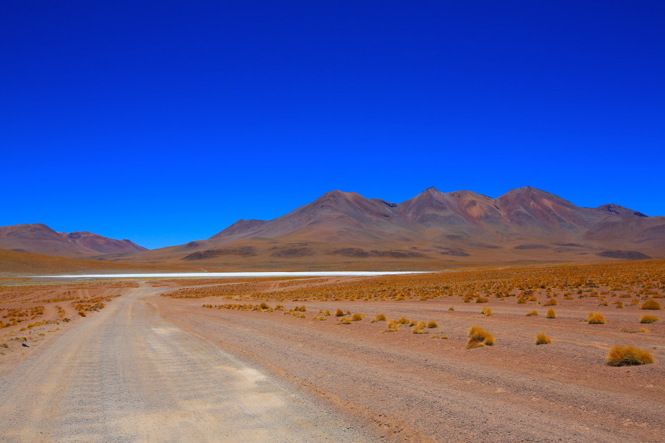
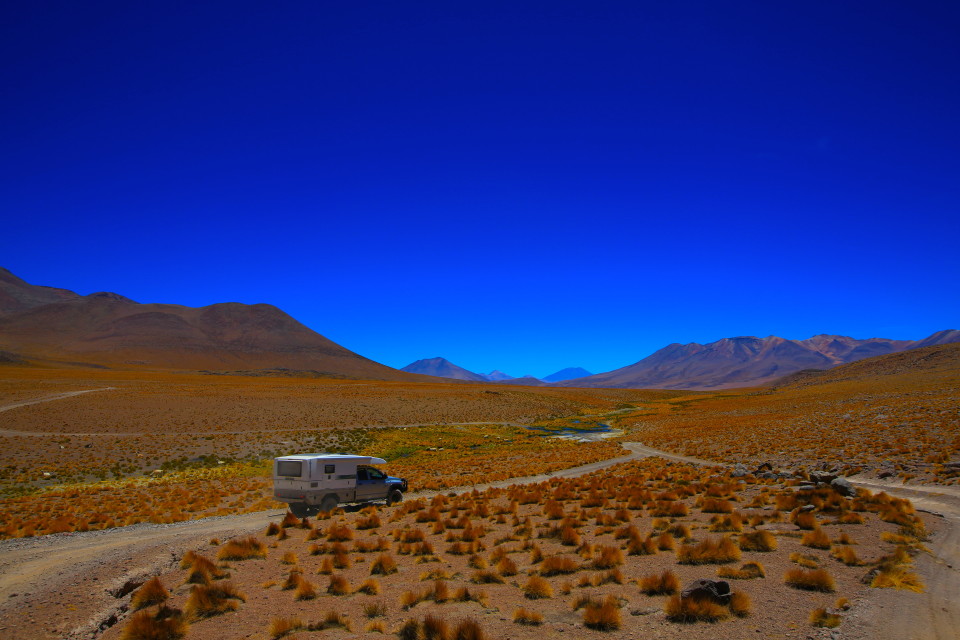
Our first glimpse of a lake on the southwest circuit! Notice those washboard roads — they were brutal. All along this route there are signs saying the speed limit is 60 kilometers per hour, but we were lucky if we were doing 20 kph.
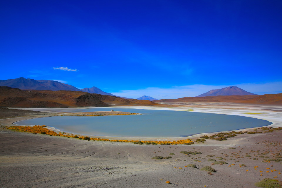
Laguna Honda
For our first day, we set our sites on Laguna Honda. We knew there was a peninsula where you could camp in the middle of the lake and have great views of the flamingos. We weren’t disappointed.
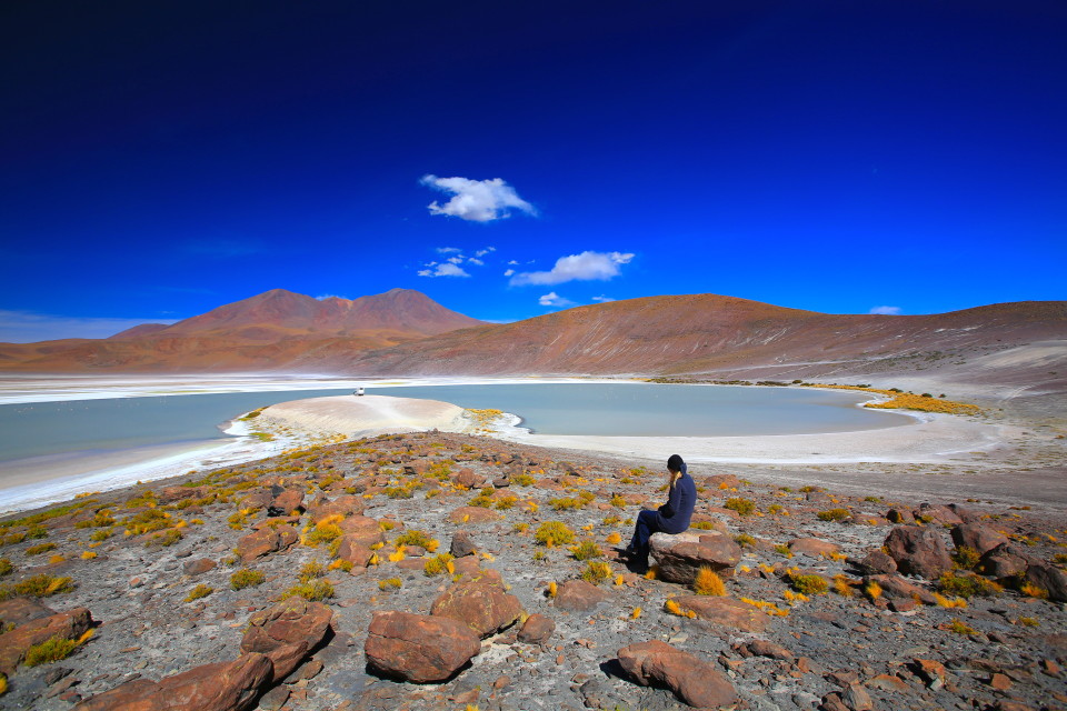
We tried to walk around a bit at the lake but even though we were adjusted to the altitude, it still left us breathless.
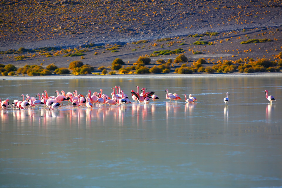
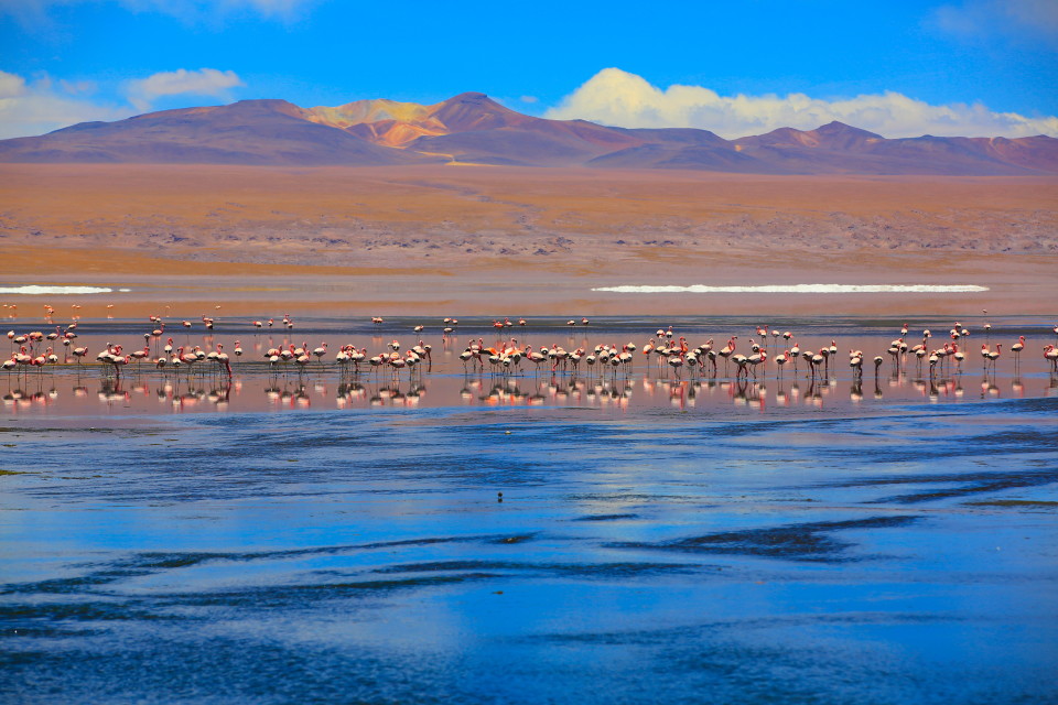
These flamingos stayed in the lake all night. In the morning, the lake was partially frozen and the flamingos were all huddled together.
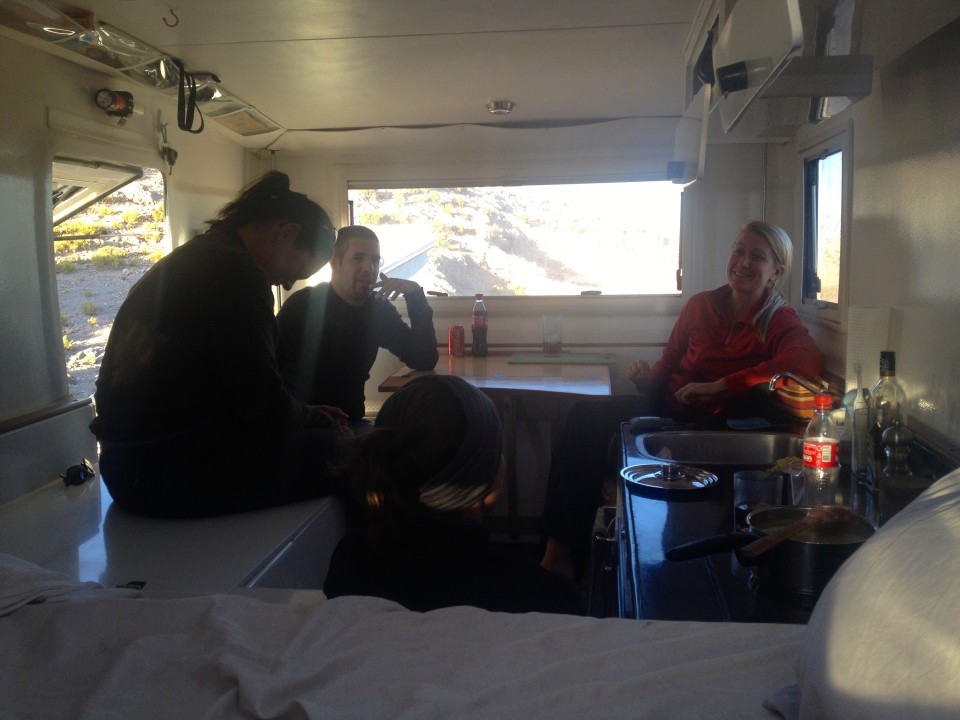
The southwest circuit is notoriously cold. At 14,000 feet and with high winds, it’s easy to understand why. Luckily, our XPCamper came with a webasto heater. We ran this every night during the southwest circuit and it kept us extremely warm — in fact some nights we had to turn it down!
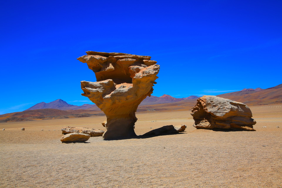
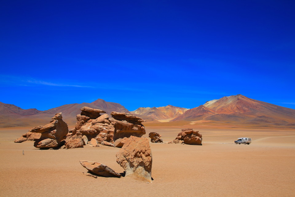
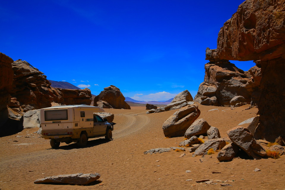
Arbol de Piedra
From Laguna Honda, we headed towards Arbol de Piedra, a rock formation that looks like a tree. There are also lots of other interesting formations in this area as well.
Laguna Colorada
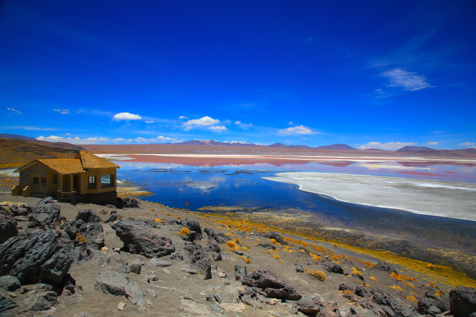
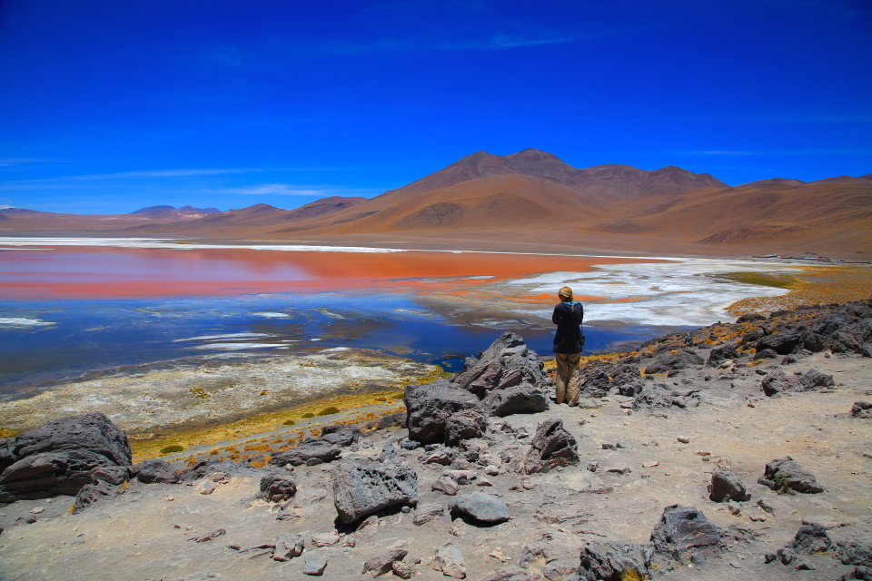
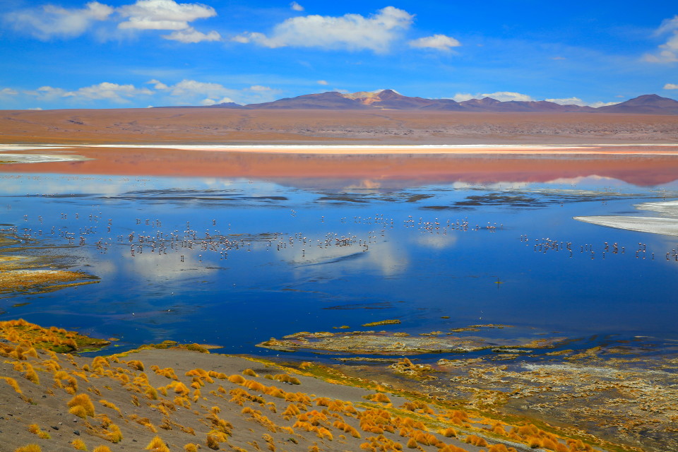
After a short visit at Arbol de Piedra, we pushed on towards Laguna Colorada. This lake is where the nature reserve officially begins (in other words, the ticket booth is right here). The lake has several sections that are bright red in color and it is filled with thousands of flamingos.
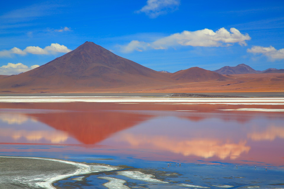
Natural pigments of the algae living in the lake give it this blood-red color and serve as a source of food for the flamingos.

This lake is home to all three species of south-american flamingos and is the single biggest nesting site of the rare “James flamingo”.
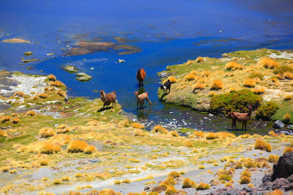
These llamas were having lunch down by the lake. If you look closely, you’ll see the ribbons tied to their ears.
So far so good — our tires were doing ok (no flats yet), but we were only beginning the southwest circuit and still had a ways to go.
Up next: we continue our trek through the southwest circuit.


