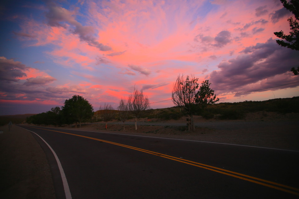
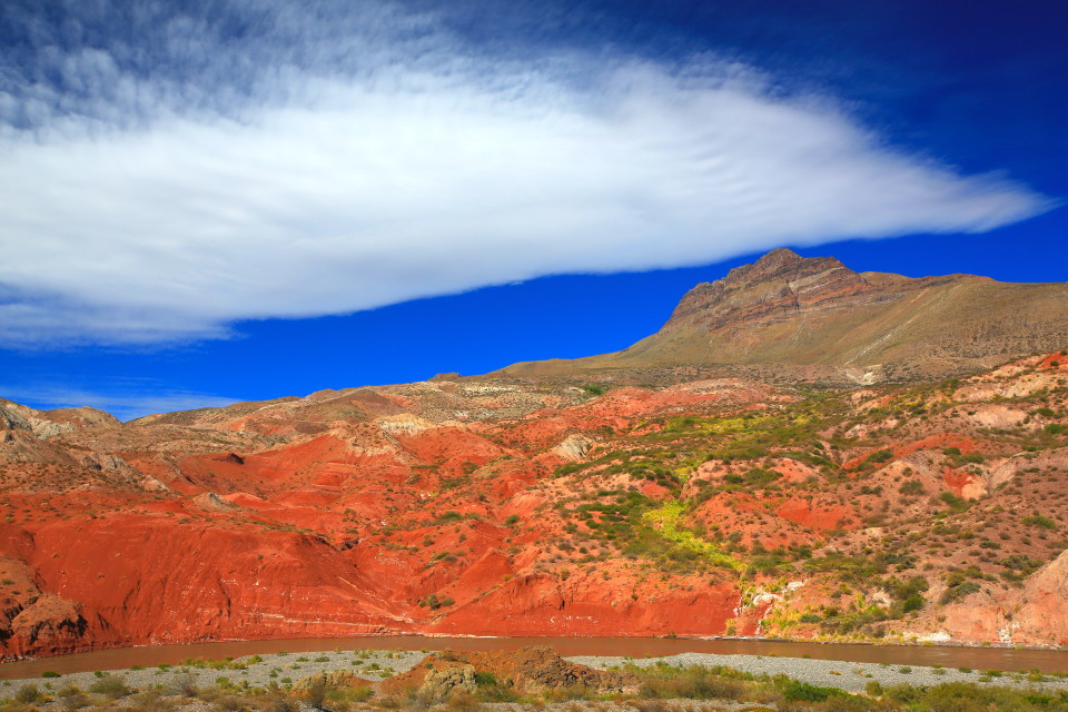
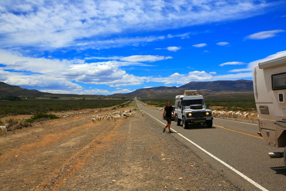
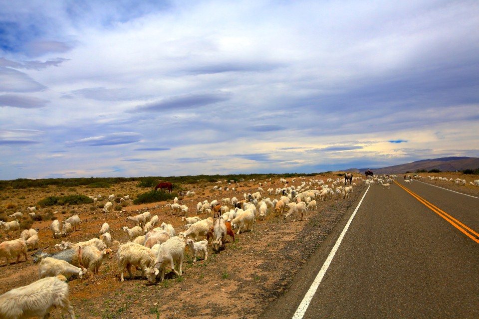
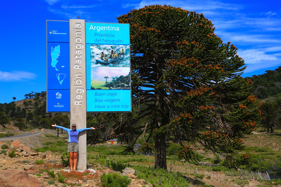
From Mendoza, we headed south on the legendary “Ruta 40″ — Argentina’s longest highway that runs 5,224 kilometers (3,265 miles) from the border with Bolivia all the way to Patagonia. This highway is similar to Route 66 in the USA — it basically has it’s own ethos. It goes through or near 20 national parks and crosses 24 major rivers draining out of the Andes. It reaches the altiplano near the Bolivian border at Abra de Acay where at 5,061 meters (16,600 feet) it sets the record for the highest point on a national road anywhere in the world.
While we weren’t going to drive the entire Ruta 40, we were going to get a big chunk of it. What had us really excited at this point is that we were approaching Patagonia — our most anticipated destination since we left San Francisco.
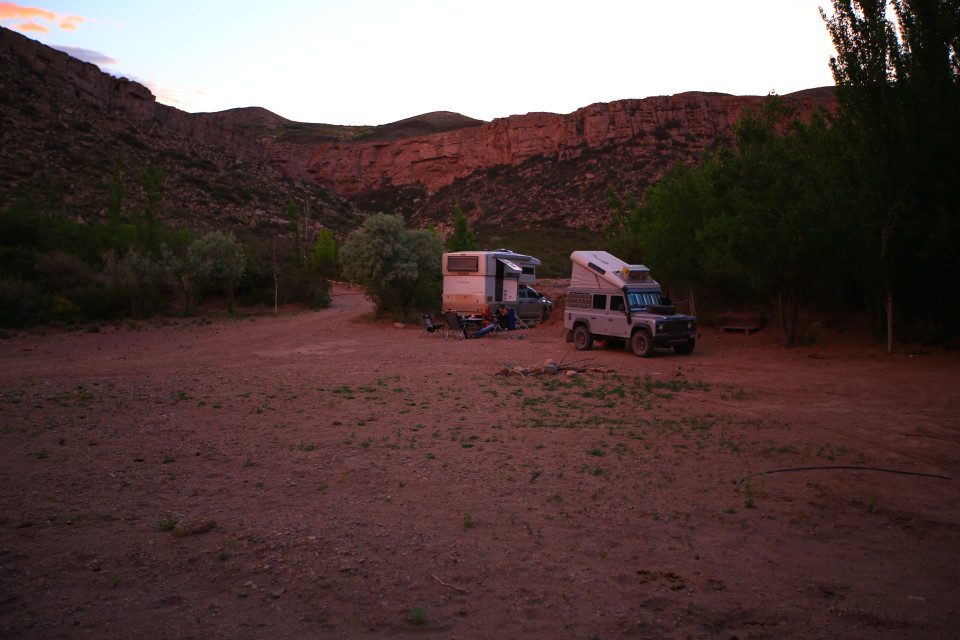
This camping spot was right off the Ruta 40. We were still traveling with our swiss friends, Michael and Simone.
One of the great things about the Ruta 40, besides all the stunning scenery you are driving through, is all the little possible side trips you can take off of it. You could easily spend months driving the 40 and exploring all the areas around it.
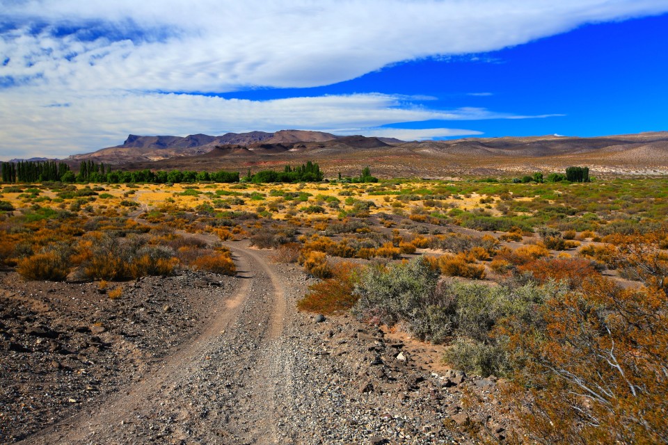
We hopped off the 40 in search of a lake. It turned out to be a salt lake that we didn’t stay at for very long, but it sure was a pretty drive along the way.
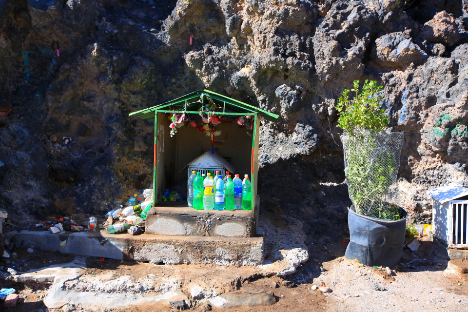
Shrines to the Difunta Correa (the unofficial saint of all travelers) litter the sides of the Ruta 40. The story goes that the widow of a soldier killed in the civil war in the 1840s was traveling with her baby to recover his corpse. Exhausted and dehydrated, she died on the road, but the baby was found alive, still suckling at her breast. Now travelers leave an offering of a water bottle at these shrines to remember her. Side note: we ran into a cyclist who mentioned that these water bottle shrines have saved him when he can’t find water anywhere else.
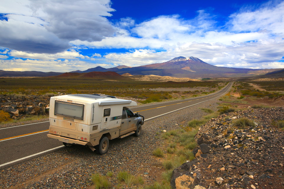
One of my favorite parts in this section of the Ruta 40 was when it wound it’s way around this volcano.
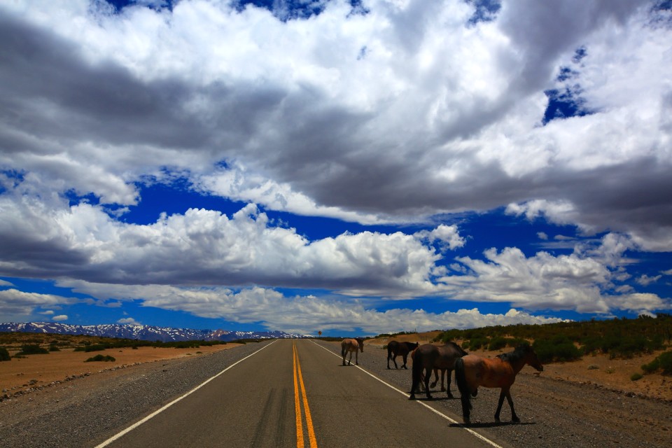
I’m not sure if these horses belong to anybody; they were just wandering by the side of the road. You can see the snow-capped Andes in the background.
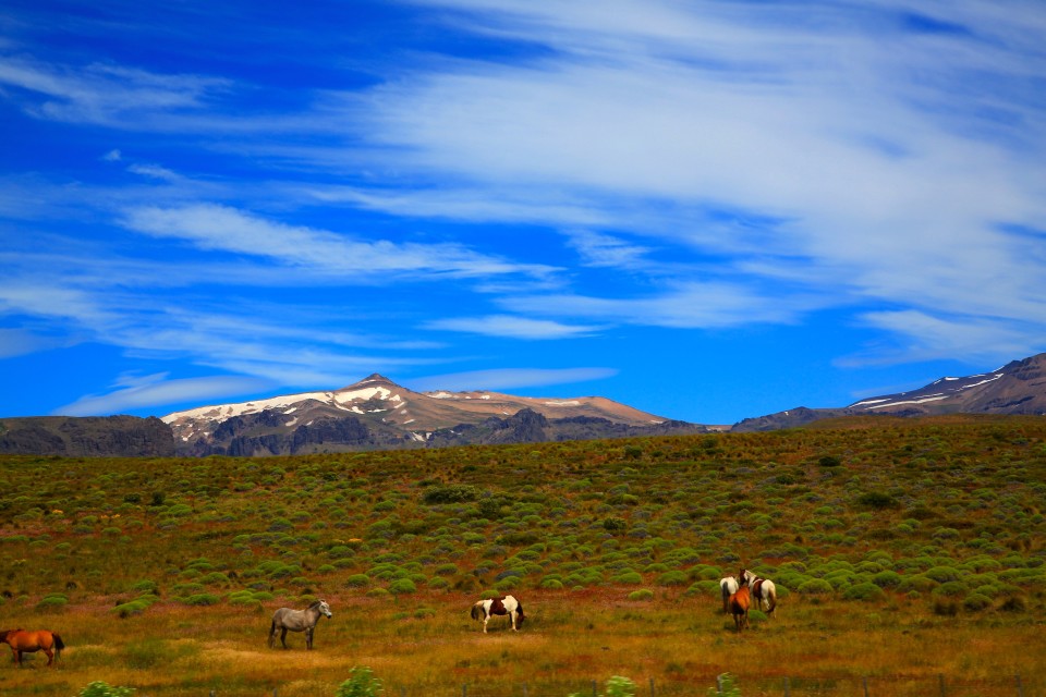
As we neared Patagonia, we saw more and more horses along the way. They always looked extremely healthy.
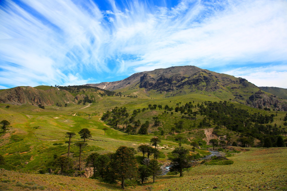
The trees on the hillside in this picture are known as araucaria or monkey puzzle trees. These prehistoric trees have been around for hundreds of millions of years and each tree can live for over 1,000 years. They are most commonly found growing in the volcanic soil around Patagonia. We were getting closer!
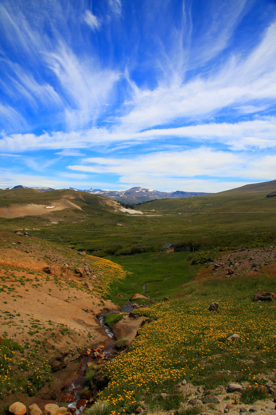
The landscape was getting more spectacular by the mile; we were so excited to finally be in Patagonia!
Up next: our adventures in Patagonia begin in Argentina’s famed Lake District.


