
I did not know much about the Carretera Austral before we got into Chile, I had just heard from many overlanders that it was a highlight of their time in Patagonia. I was not even sure what it was, a region, a highway? I just knew we were going to drive it at some point.
Having educated myself a bit (and now having driven the entire length of the road) I know a bit more about this historic highway. In the 1970s dictator Augusto Pinochet was worried about the isolation of the rural communities in southern Chile (and his power over them) that were separated from the rest of the country by fjords, glaciers and rivers. Many of these communities could only be accessed by land through Argentina, and in the 1970s, tension between Chile and Argentina over the Beagle Conflict crisis made this a valid concern for his regime.
He decided in 1976 to have the Chilean armies engineer corps build a road all the way down to Villa O’higgens (where the southern ice field prevents any further roads). In 2000 this road was finally completed after decades of effort and many lives lost. The scale of the engineering of this road reminded me of the ALCAN highway in Alaska which was also built by the army corps of engineers against all odds. Driving down the Carretera Austral I was so thankful that this road was built. It gave us and other travelers access to some of the most beautiful, pristine, remote landscape I am fairly confident we will ever see. The three weeks we spent exploring this road was one of the highlight s of our trip.
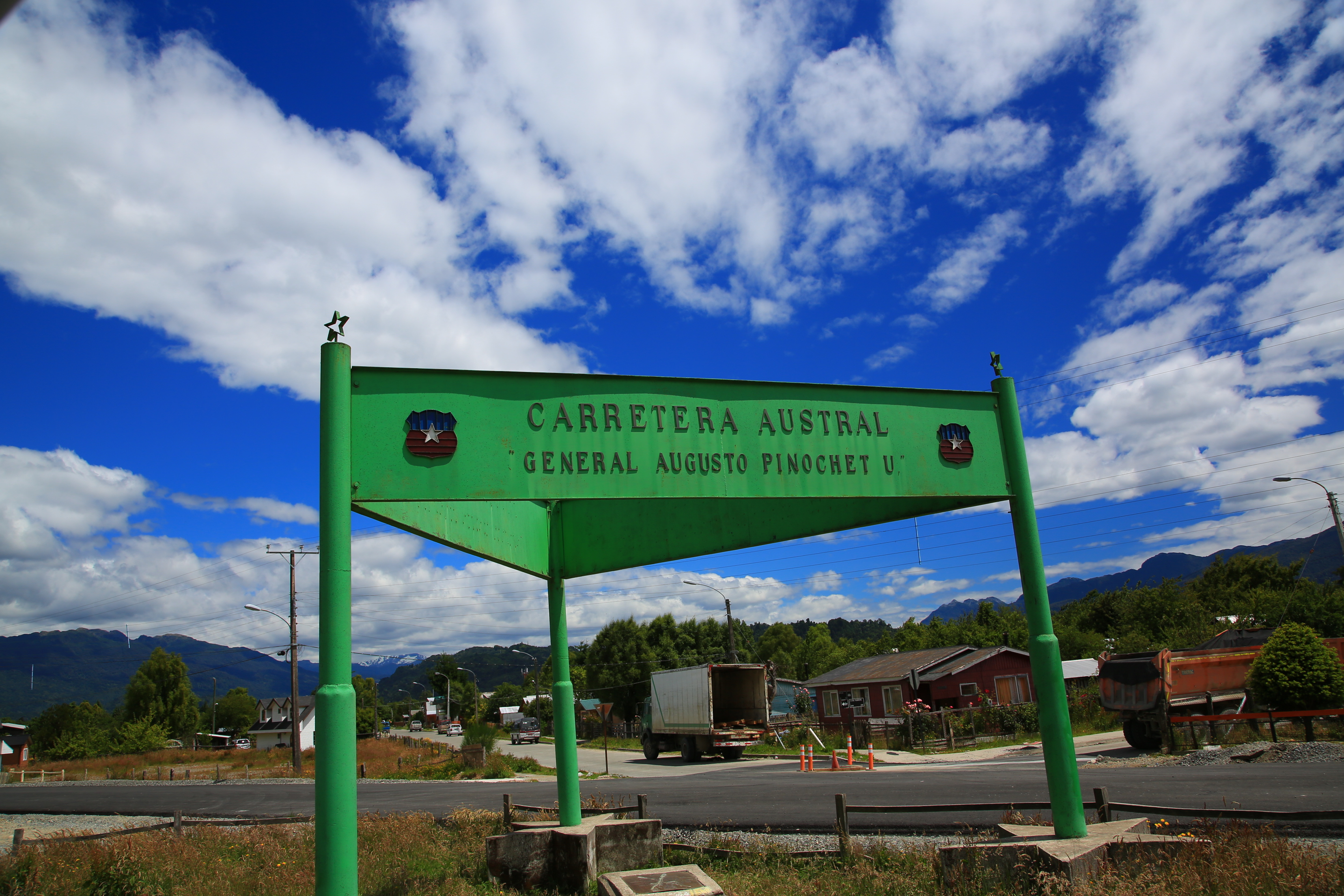
The dictators name is no longer part of the official name of the road, but there are still a few signs left with his name on them.
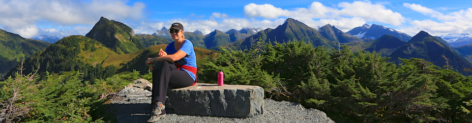
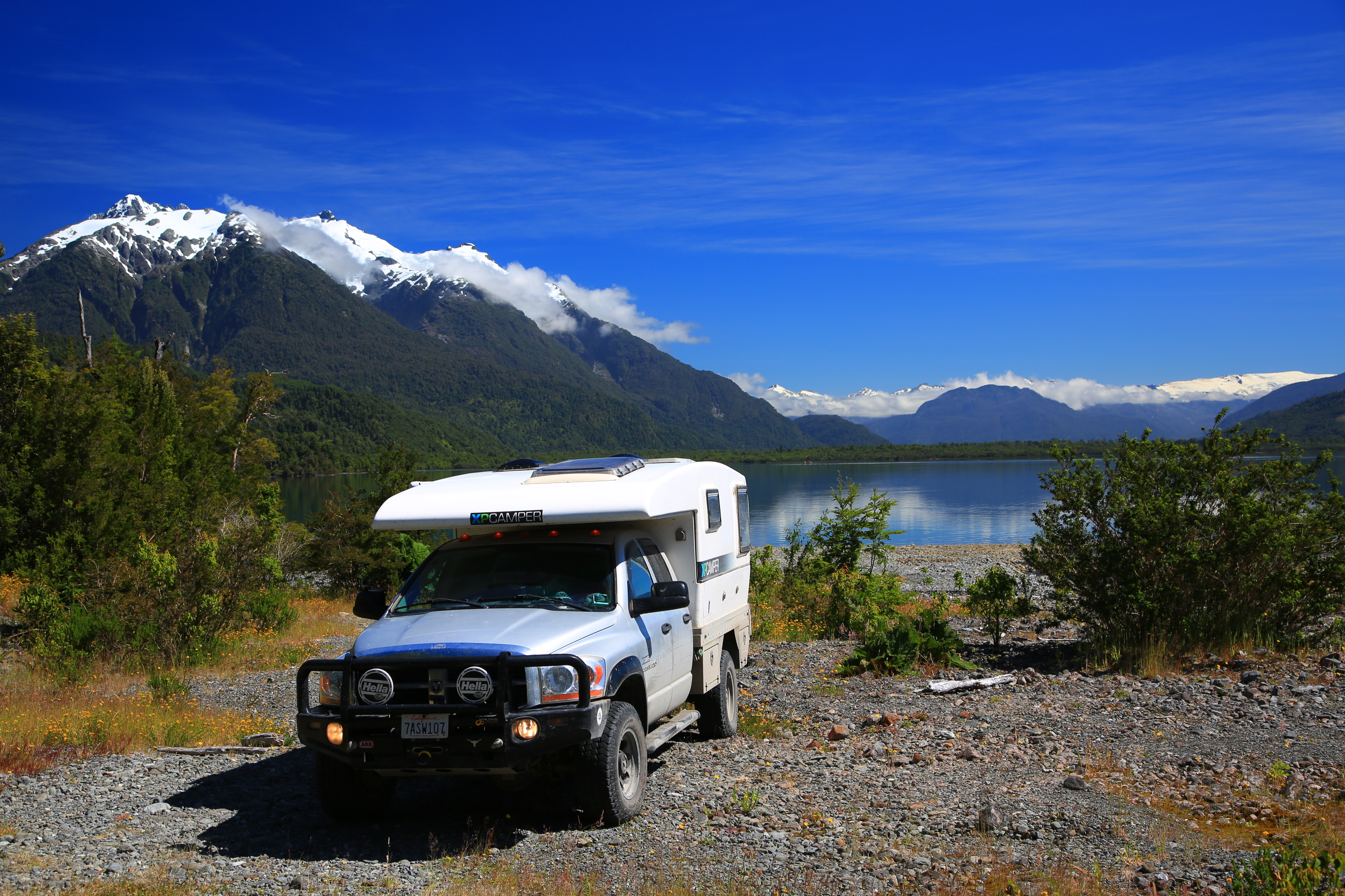
To get to the top of the Carretera Austral we had to head back up to Lago Llanquihue again, this time on the opposite side of Frutillar. Driving this way we also got a closer views of the perfect Volcan Osorno.
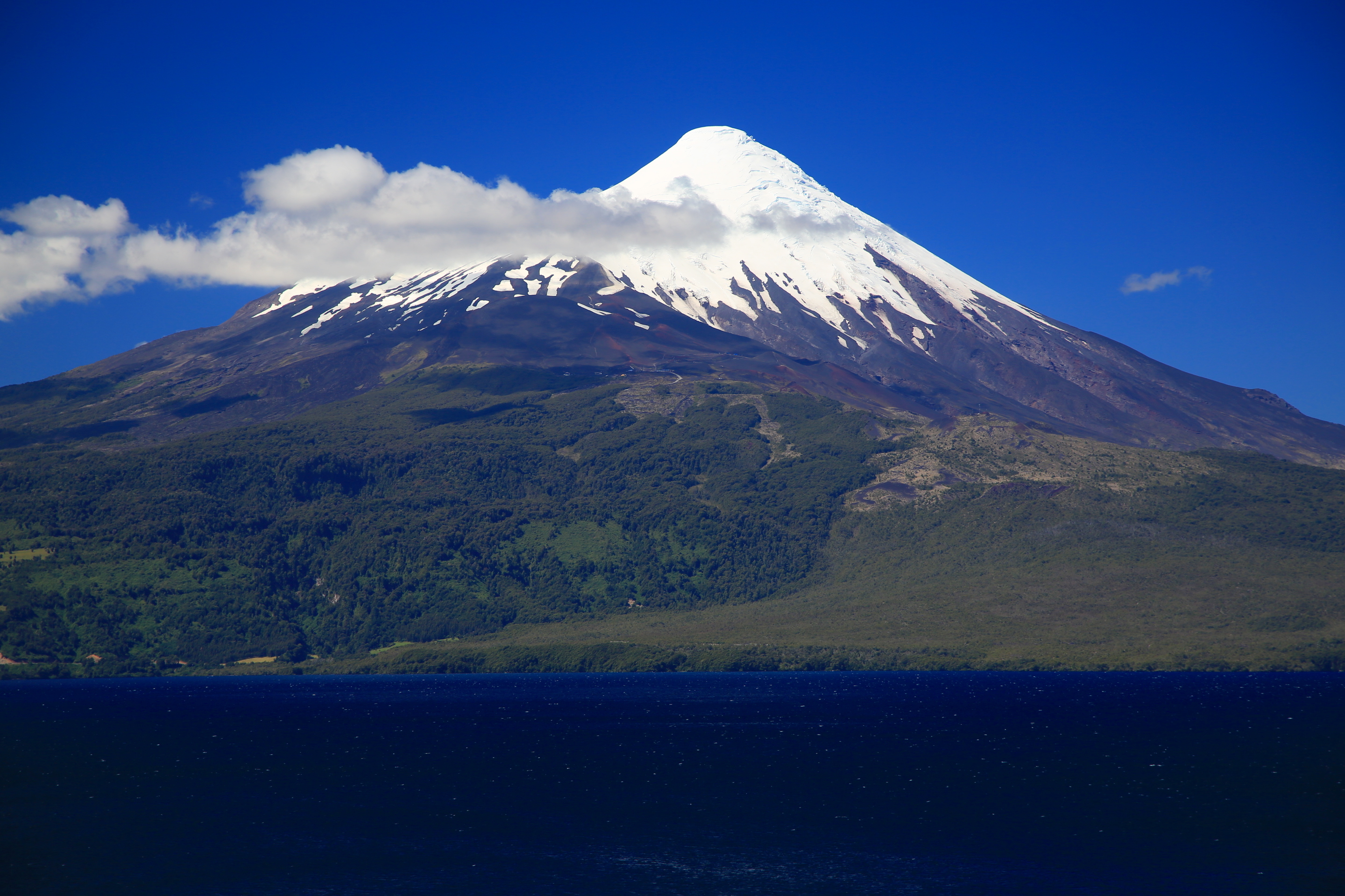
I remember when I would get so excited about volcanoes in Central America……I had no idea what was still to come.
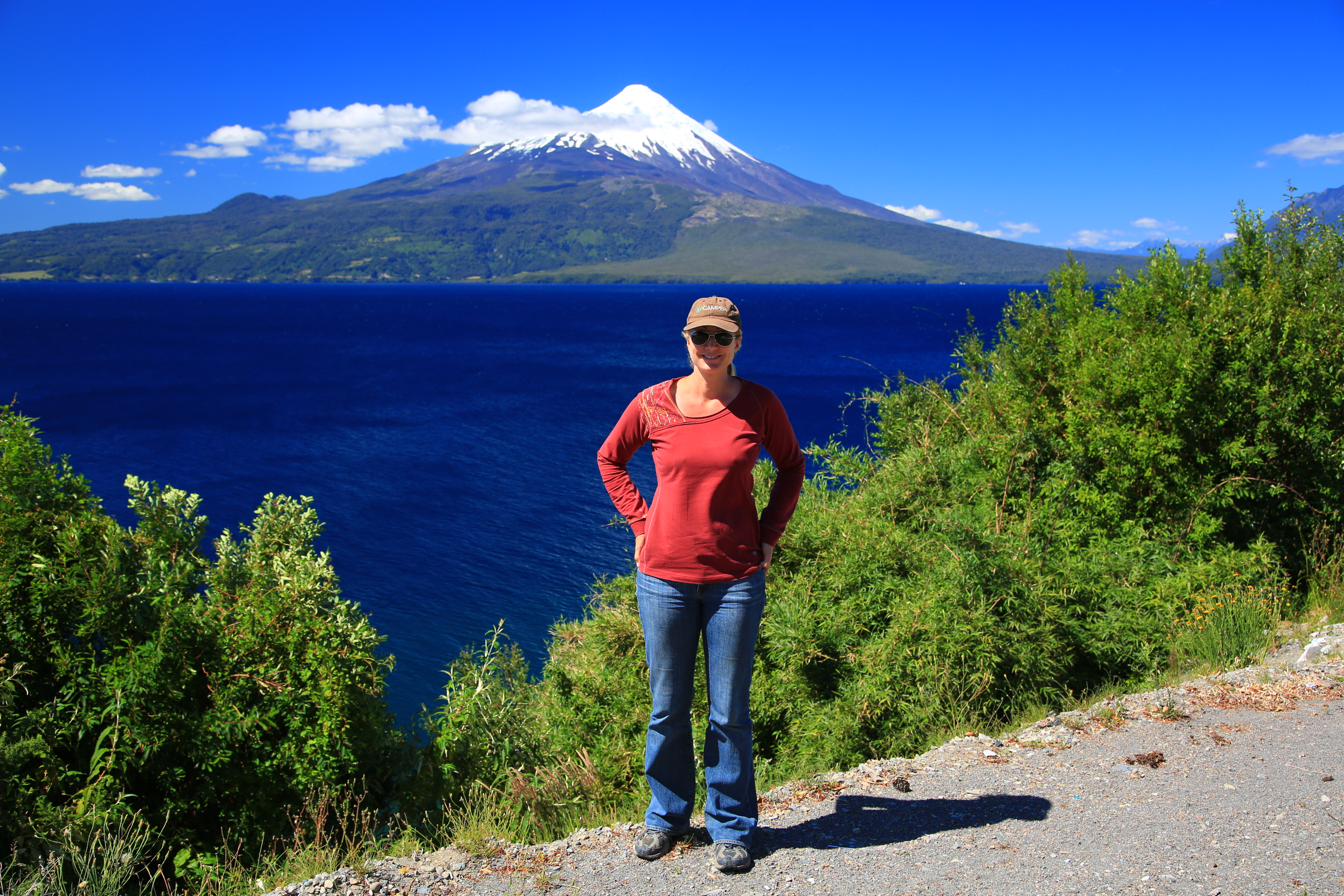
We stayed in Ensenada for the night on the lake with our Swiss amigos on bikes. It was fun.
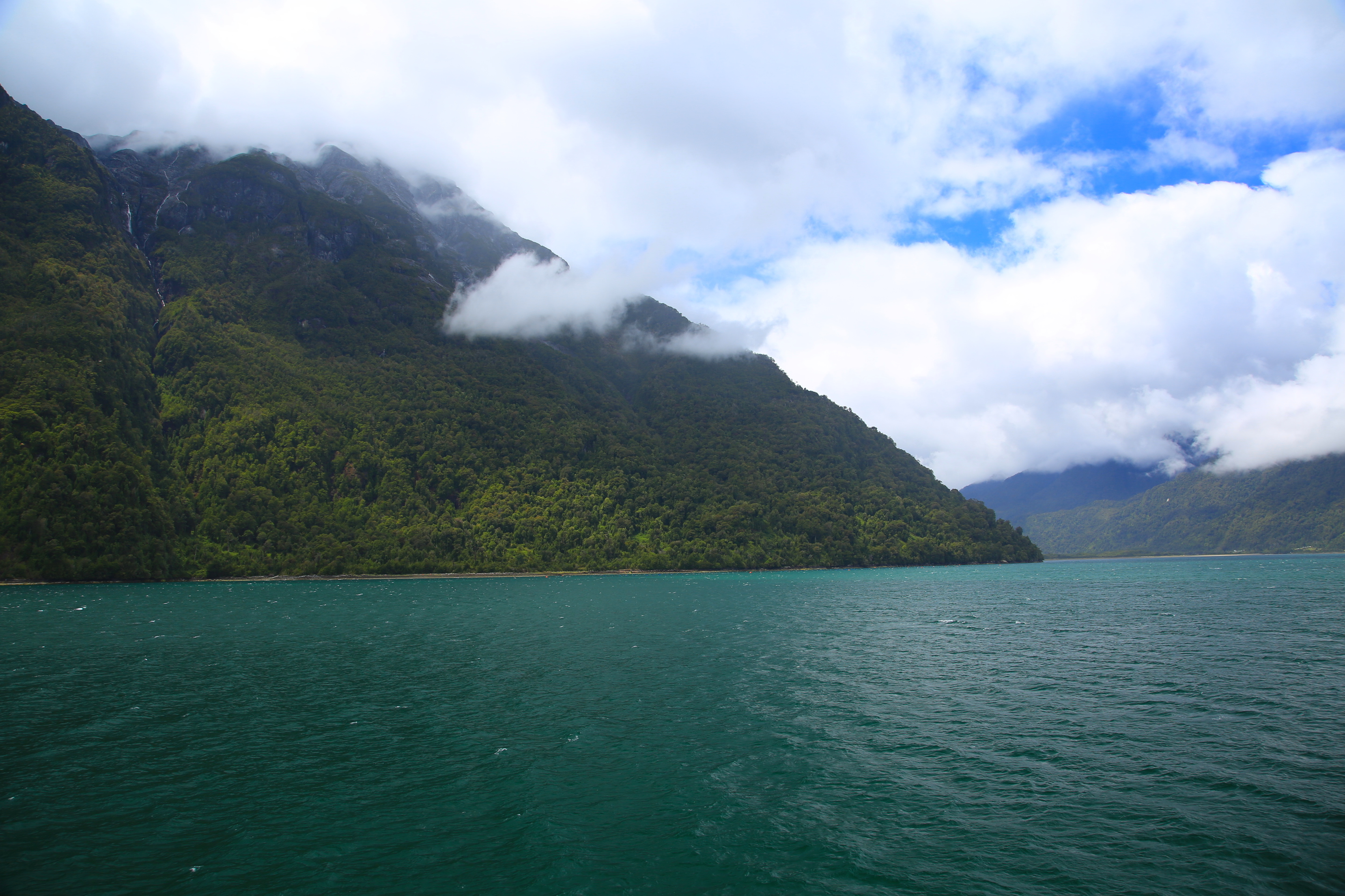
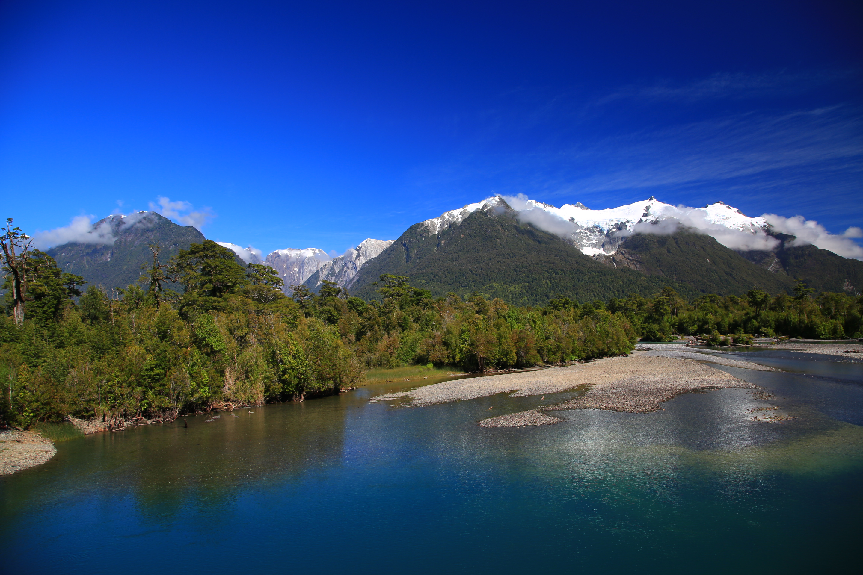
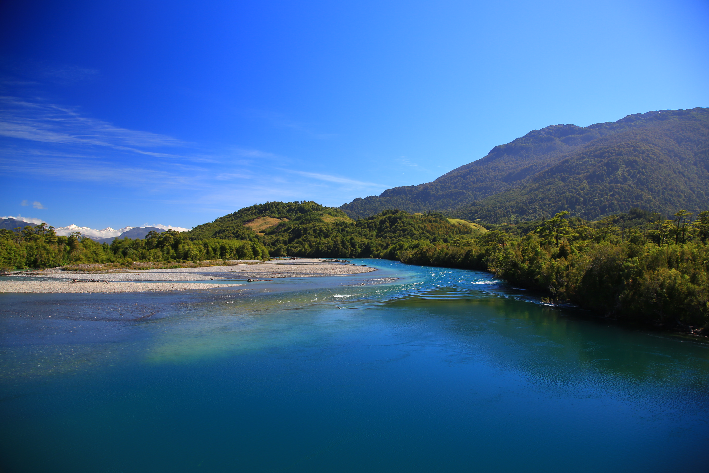
Our drive for the next day was absolutely stunning. Almost the entire drive was along the water. If you look at a map of southern Chile you can see the hundreds of islands and inlets and fjords. It is hard to drive in this area without seeing water either in the form of fresh water lakes or huge salt water inlets.
The only thing that bothered me a bit about our driving this route is we got to see portions of Chile’s billion dollar salmon farming business. By choice, I do not eat farmed salmon, these massive farms are causing havoc on our already stressed ocean. Google articles about the Chilean salmon industry if you are curious. All I can say is I could see first hand what I would call “fish farm oil slicks”, this long stream of greasy looking polluted water in the otherwise pristine Pacific ocean that would be coming off of all the pens. It was a bit depressing because this area was just SO incredibly beautiful.
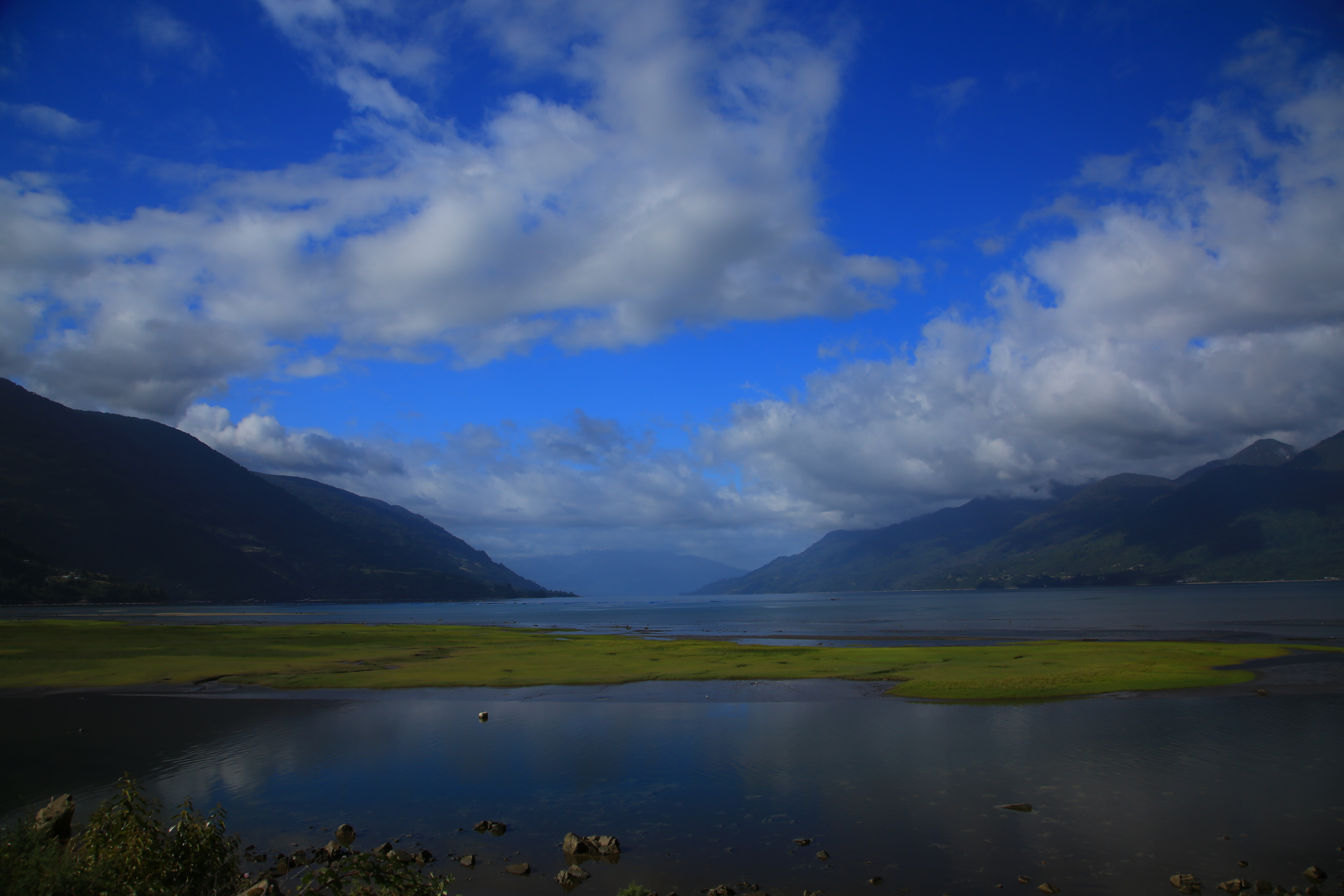
Looking down the huge Estuario de Reloncavi.
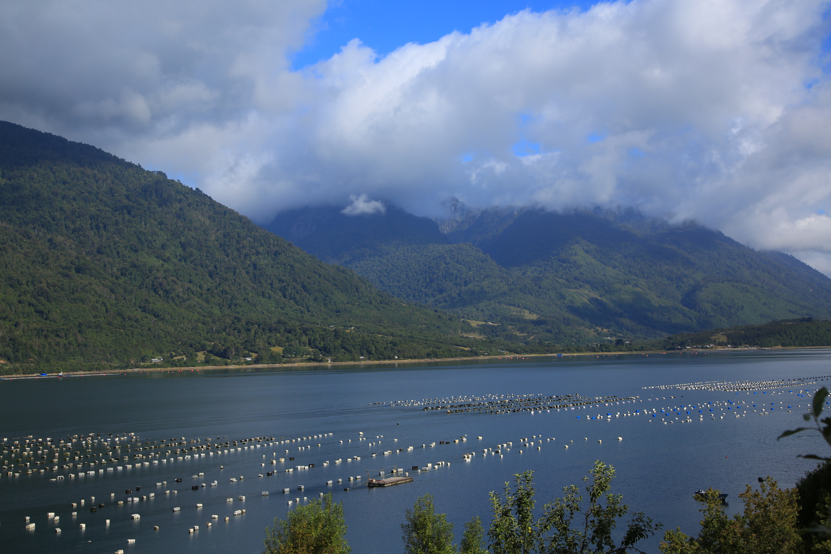
Salmon farms…
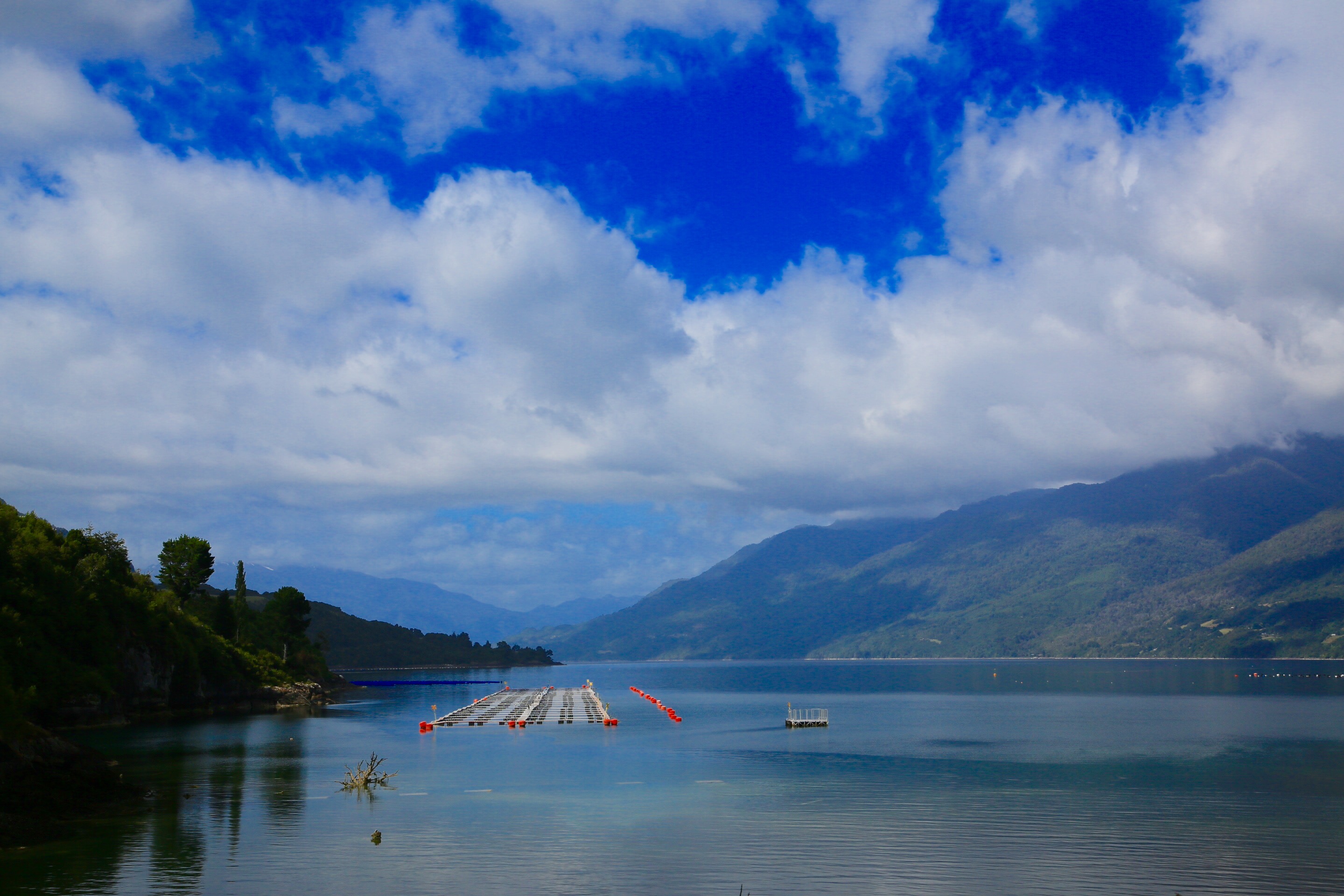
And more salmon…. Still a very pretty area.
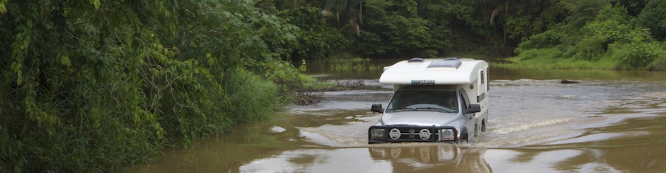
We spent two days driving this coastal stretch until we got to Hornopiren where we had to catch two ferries to allow us to continue driving down the Carretera Austral. The ferries and the landscape began reminding us of Alaska (and the temperatures, it was super cold the day we were on the ferry!). As we motored down the pristine blue waters I kept thinking about our days sailing down the inside passage of Alaska and really realized just how far we have gone. It was hard to believe we were almost to the end of South America.
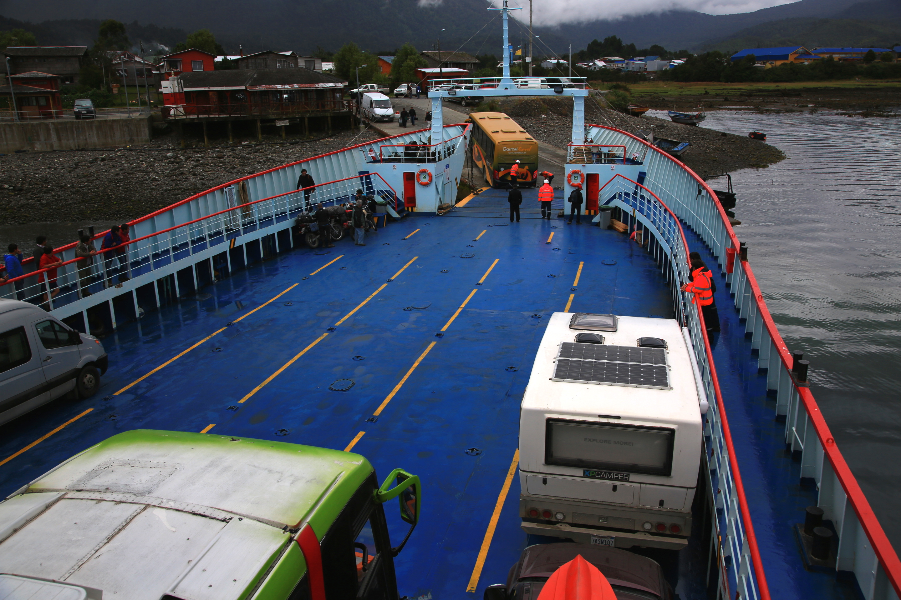
So many ferry rides in Chile. I think we had seven total.
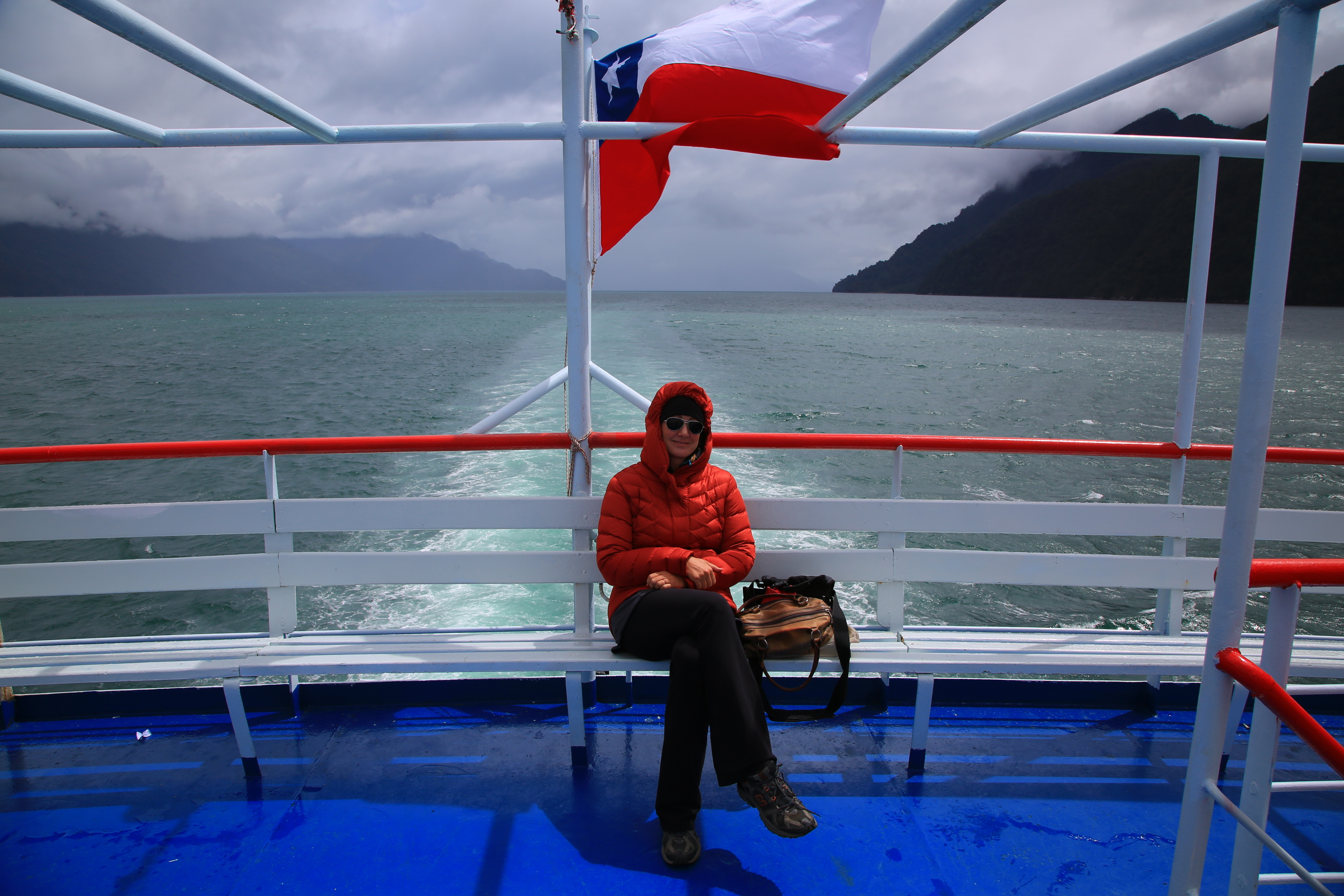
I love the Chilean flag, every time I see it I think Texas? I had soooo many layers on. It was frosty.
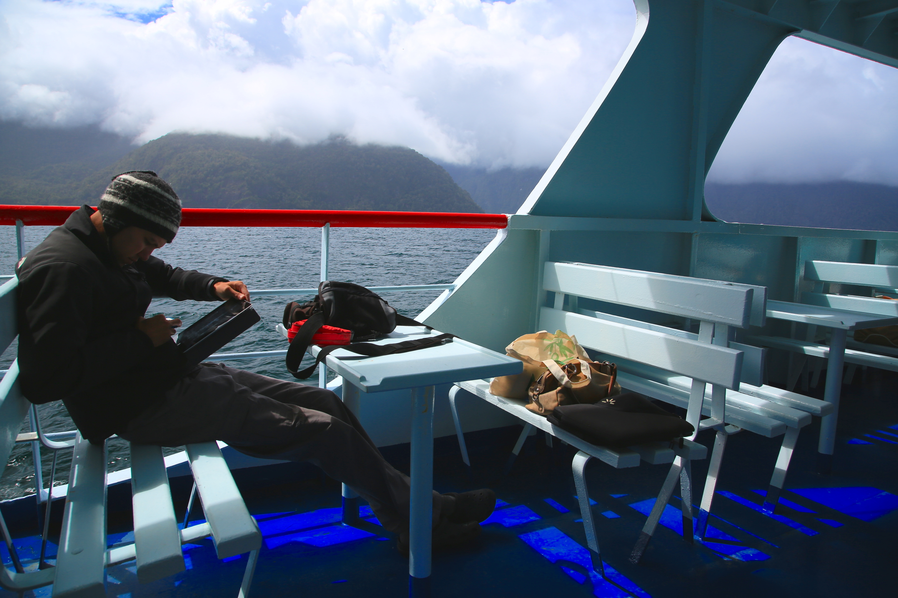
Sam reading, I had to keep reminding him to look around and take in the scenery.
The water on this trip was very green-blue when the sun hit it.
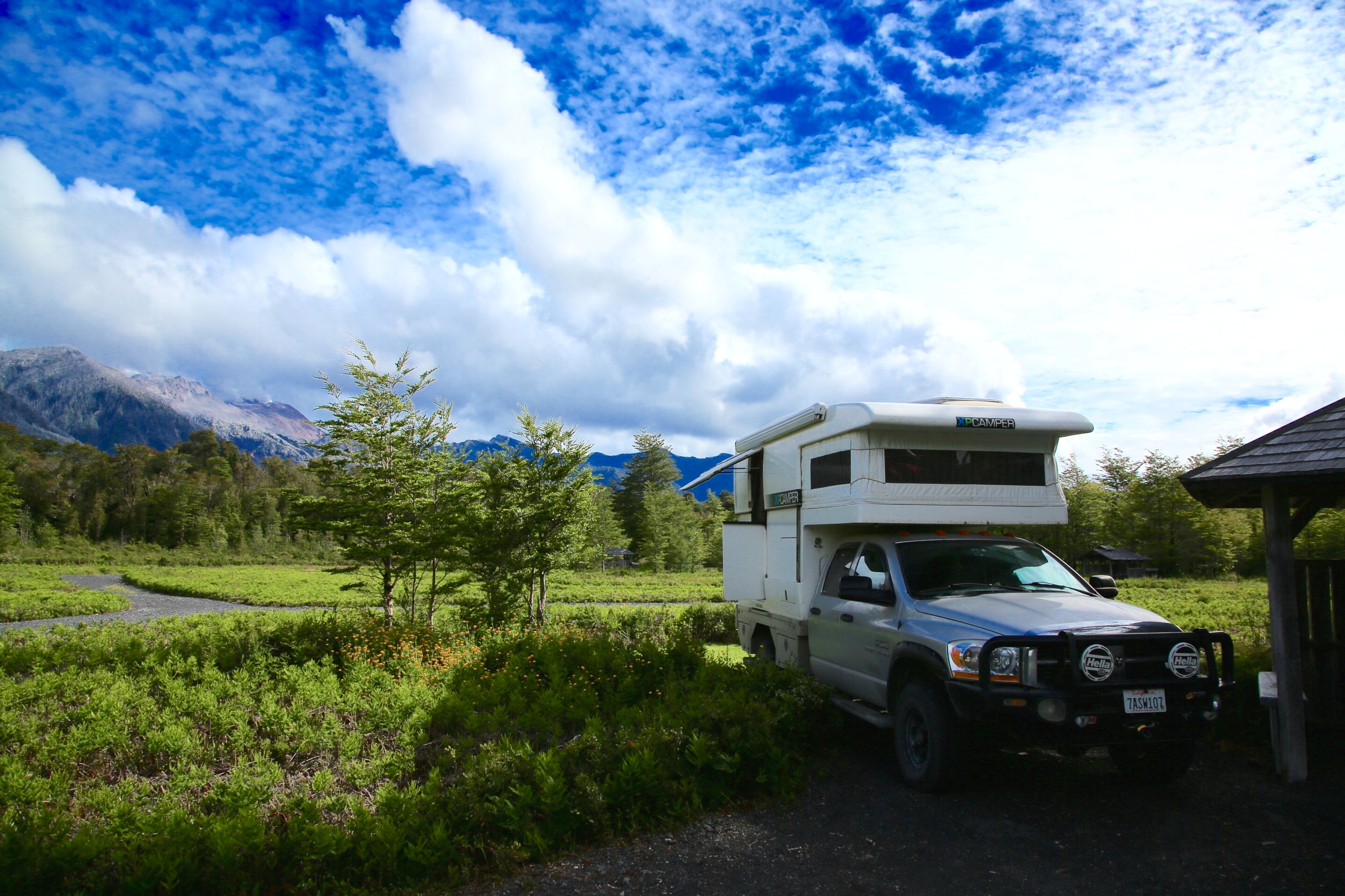
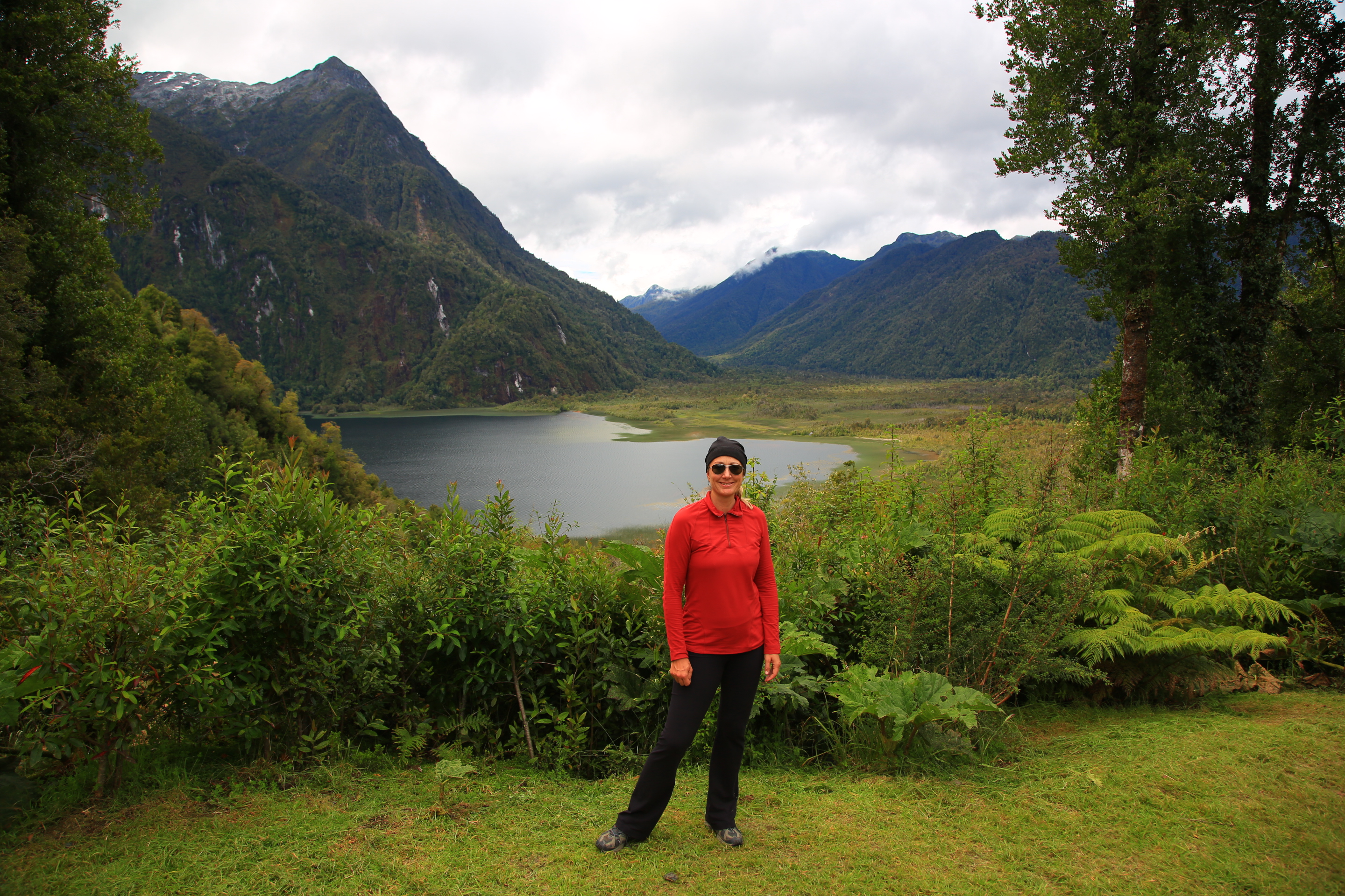
The second ferry dropped us off in one of my favorite places on the Carretera Austral, Parque Pumalin. This is the park made up of the land billionaire Doug Tompkins, the American co-founder of The North Face and Esprit clothing lines bought up over several years with the intent of land conservation. I think what he and his wife are doing is amazing, but he is both loved and hated in Patagonia. Having a rich American buying up millions of acres of pristine land scares many in Chile, and he has had to work hard to earn the countries trust. Most of the land in Pumalin is now part of a land trust and entrance to the park and its beautiful trails was free. Also, Pumalin has some of the BEST campgrounds I have seen anywhere. They are very much tent focused, but they are so well laid out and really enhance the natural surroundings. I am glad Doug Tompkins is using his money to preserve this pristine area, it is much better than buying private jets and million dollar yachts. And to be honest, seeing so much of this land used for cattle and other private industries, I am glad that a portion of it will remain untouched for future generations.
The only sad part about our time in Pumalin was we had rainy weather on and off and lots of foggy days. Since this area is a lot like the Pacific Northwest with lots of rain, sunny days are rare but make a huge difference to how the park looks.
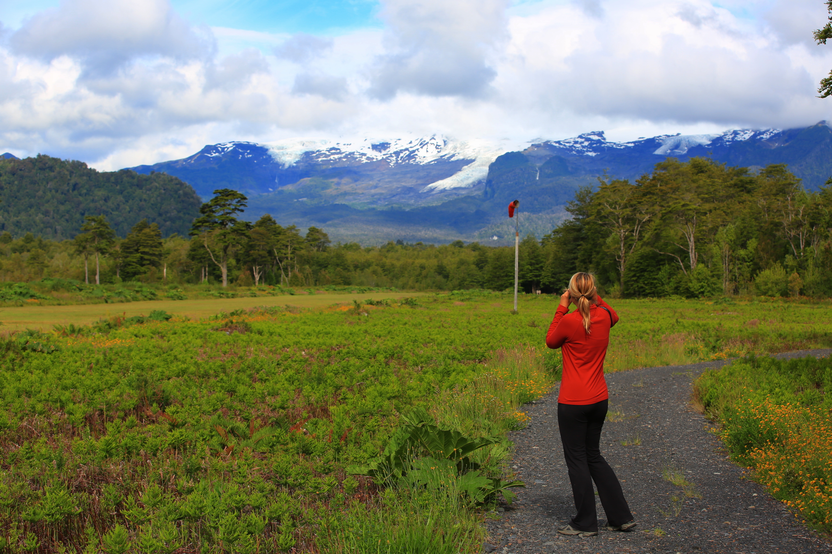
Inside Pumalin checking out the glacier with my binoculars.
We camped at the volcano camp ground and had a view of the still active and smoldering Volcan Chaiten which blew in 2008 destroying a large part of the park and the nearby towns.
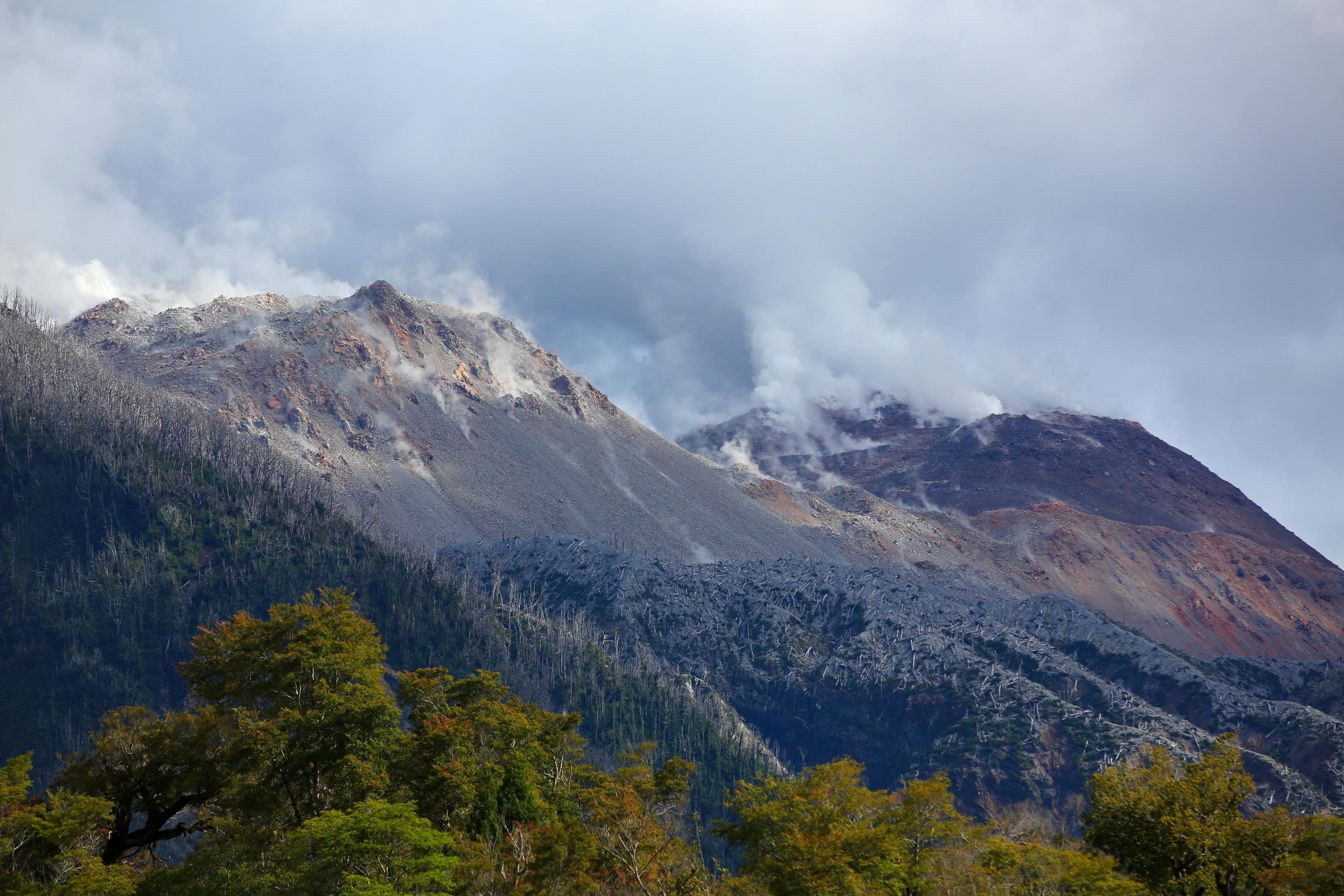
The smoke still rising from the volcano. A bit scary considering the damage it did.
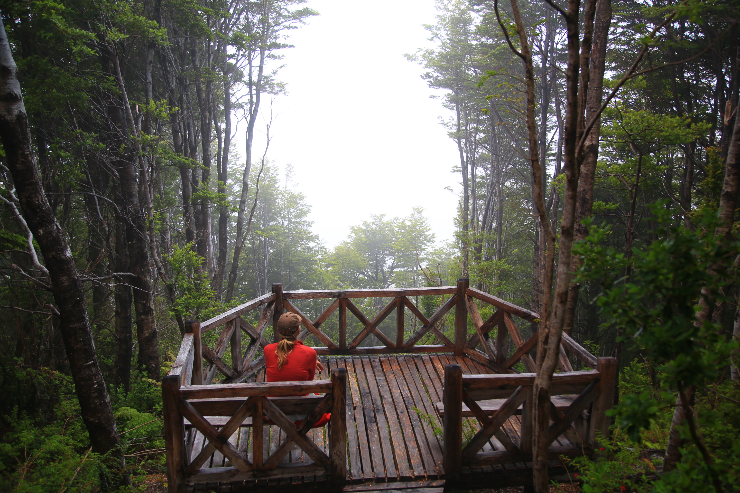
We were not able to hike a lot in the northern part of the park because of the rain, we just did not have great weather here.
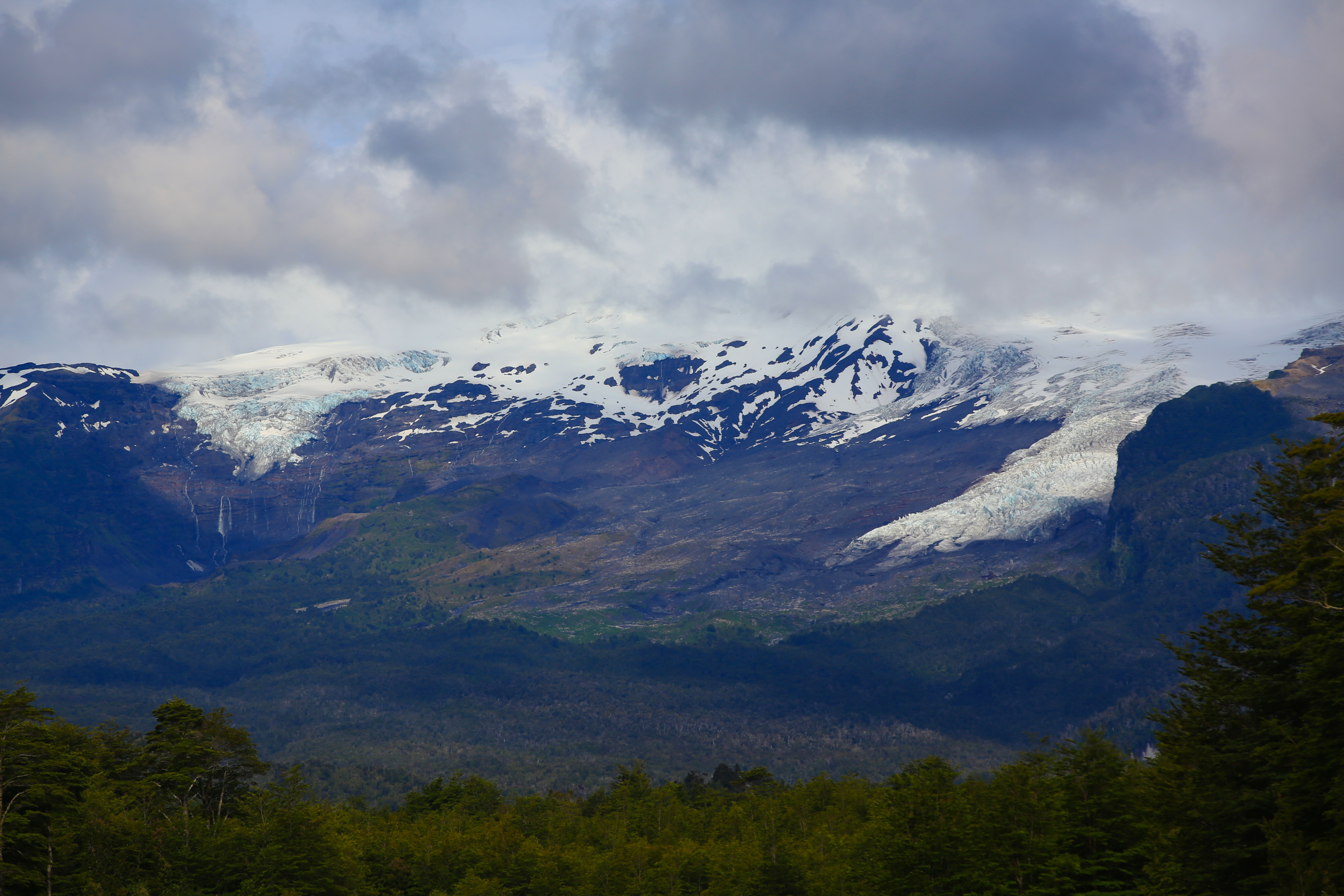
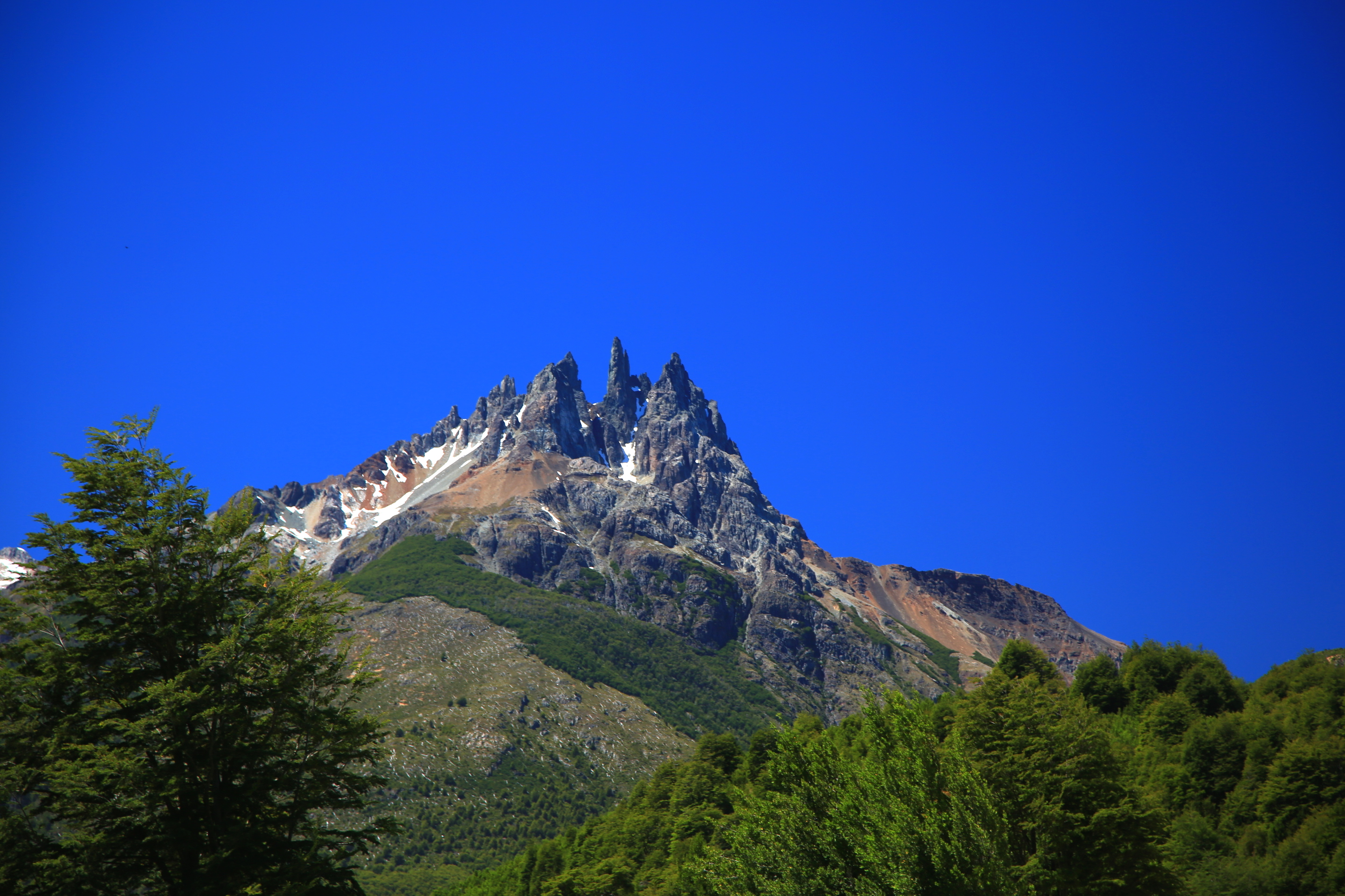
Hidden behind the clouds were gems like this! Some days it is so cloudy nothing is visible. Imagine driving by and not even knowing this was there.
This intense mirador hike was a total bust. After a mile and a half straight up all we could see was this. Apparently there is a giant mountain and glacier back there. Or so they say….=)
However, a day later we were in the southern part of the park hiking in the rain and the sun started to show up after days of fog.

So excited to see a rainbow!!! That means there is a bit of sun at least.
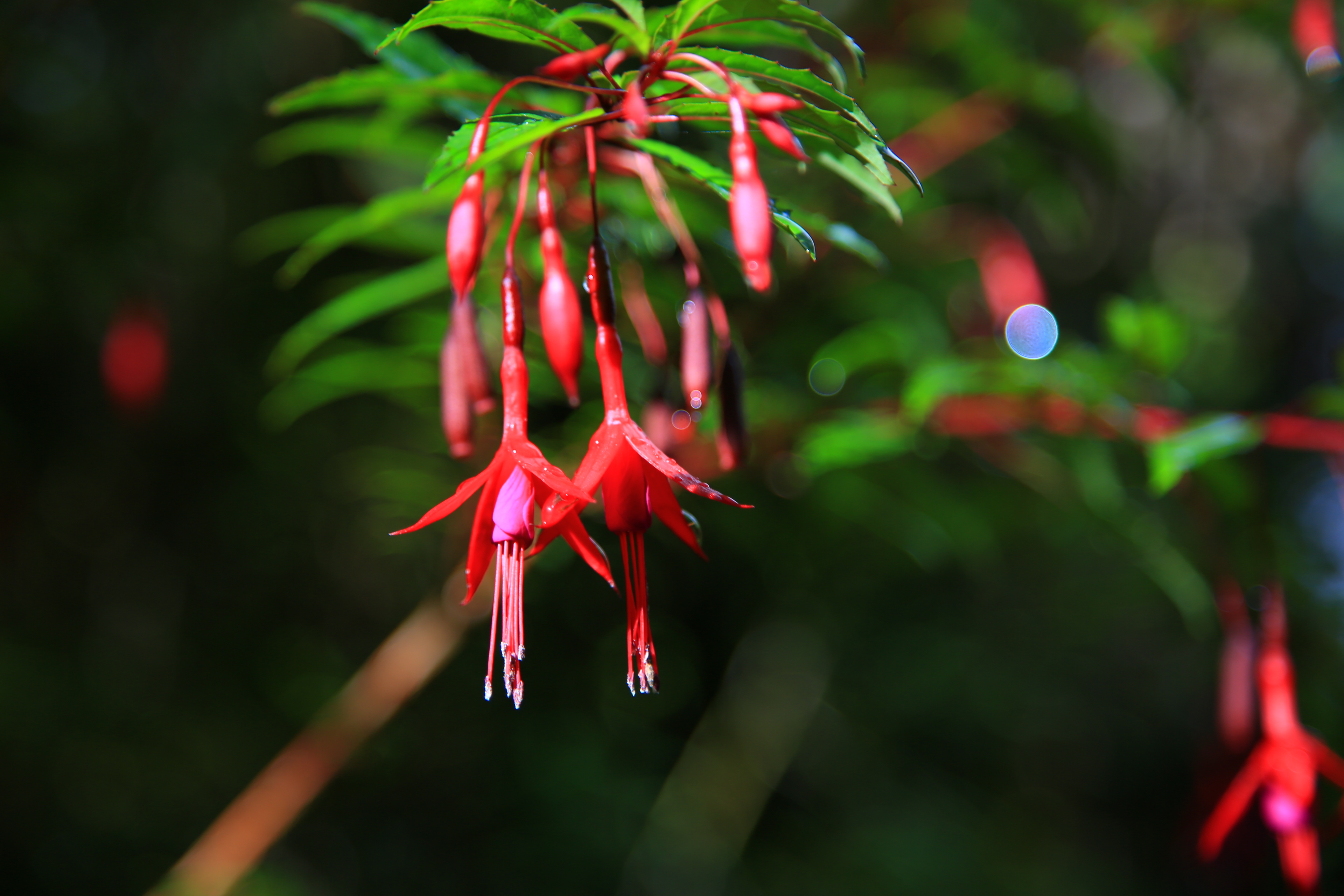
Rain drops drying from the flowers on our hike.
The next day we woke up to this!!!!!! We did not even know there was snow-capped peaks under all the fog.

This part of the park was so stunning. Sun really does make all the difference!
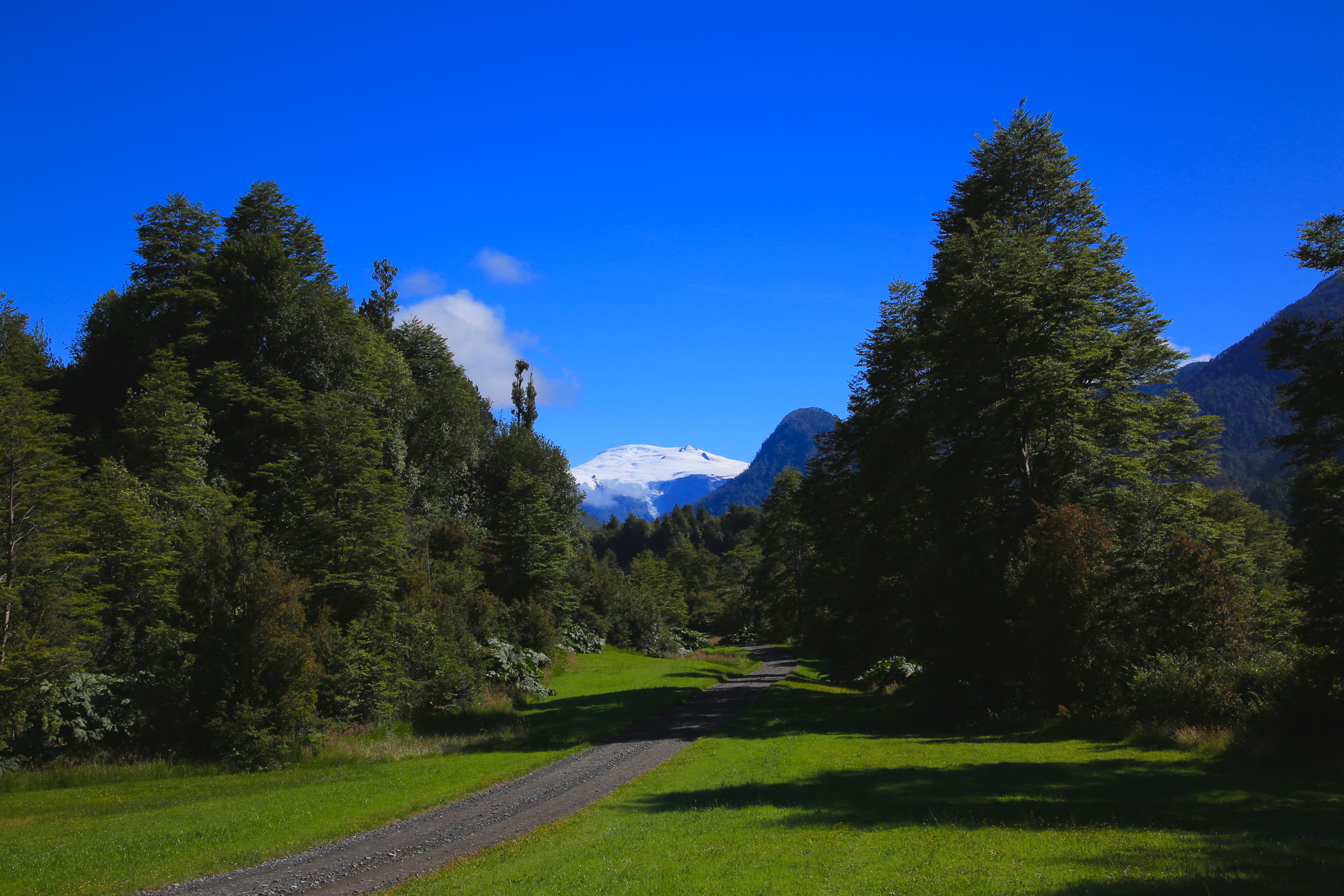
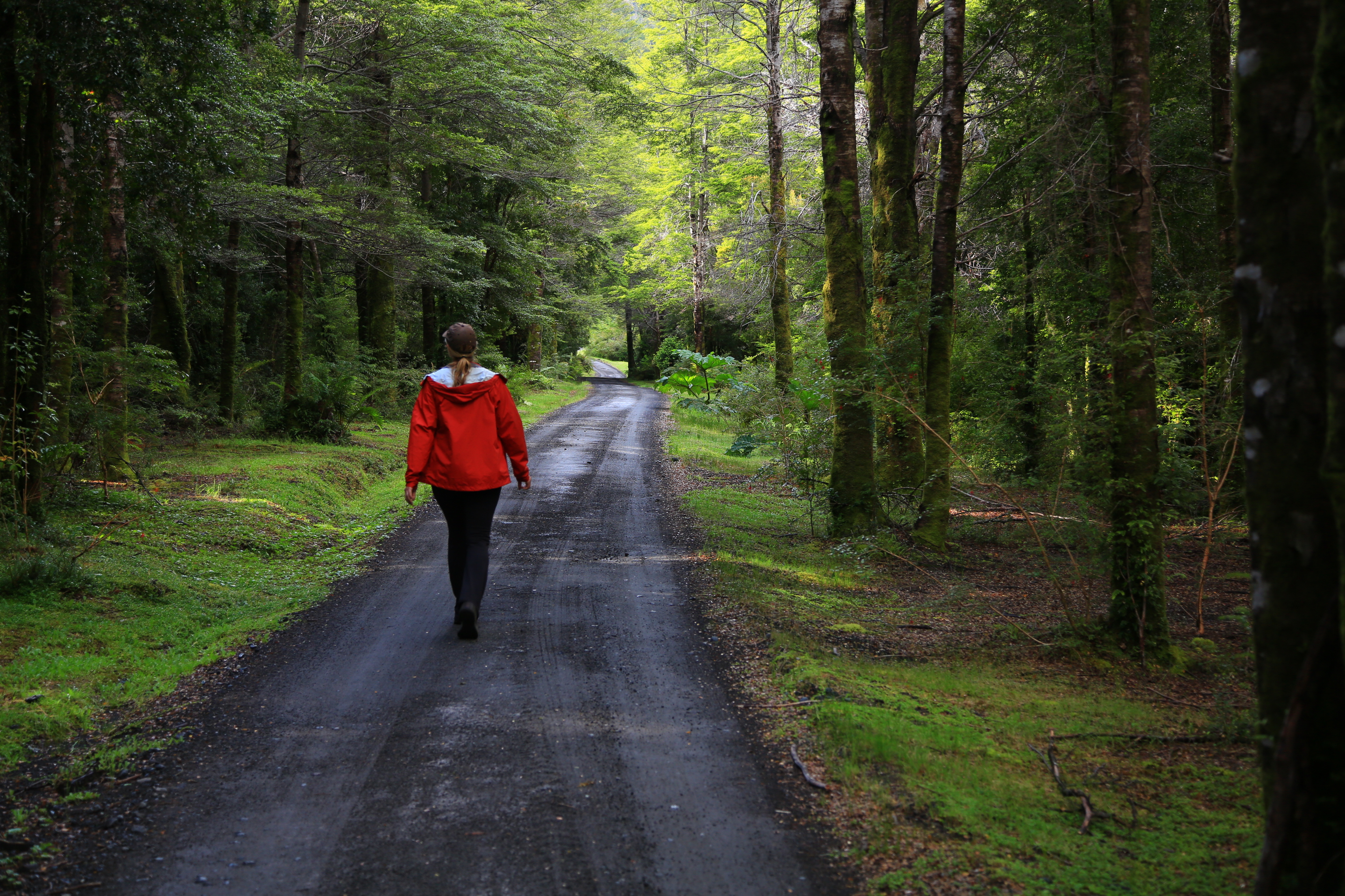
This is what the roads through parts of Pumalin looked like. This park is so well taken care of. It is spotless.
As we drove down the road from Pumalin we literally had to stop every five miles to take pictures, everything was beyond beautiful. Here are just a few of the pictures we snapped along the road. Imagine hours and hours of scenery that looked like this:

The colors in the water!
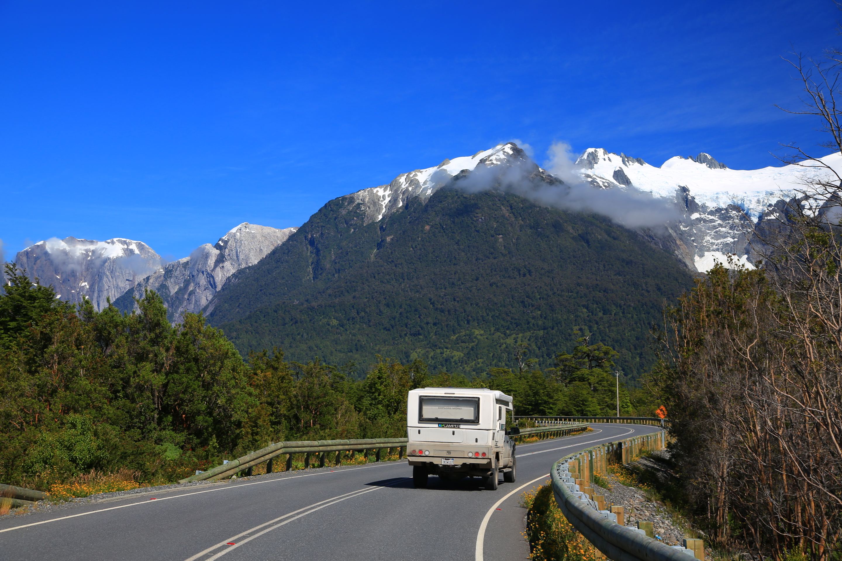
I am kind of sad they are paving all the Carretera Austral. A few years ago it was all dirt, things are a changing…..

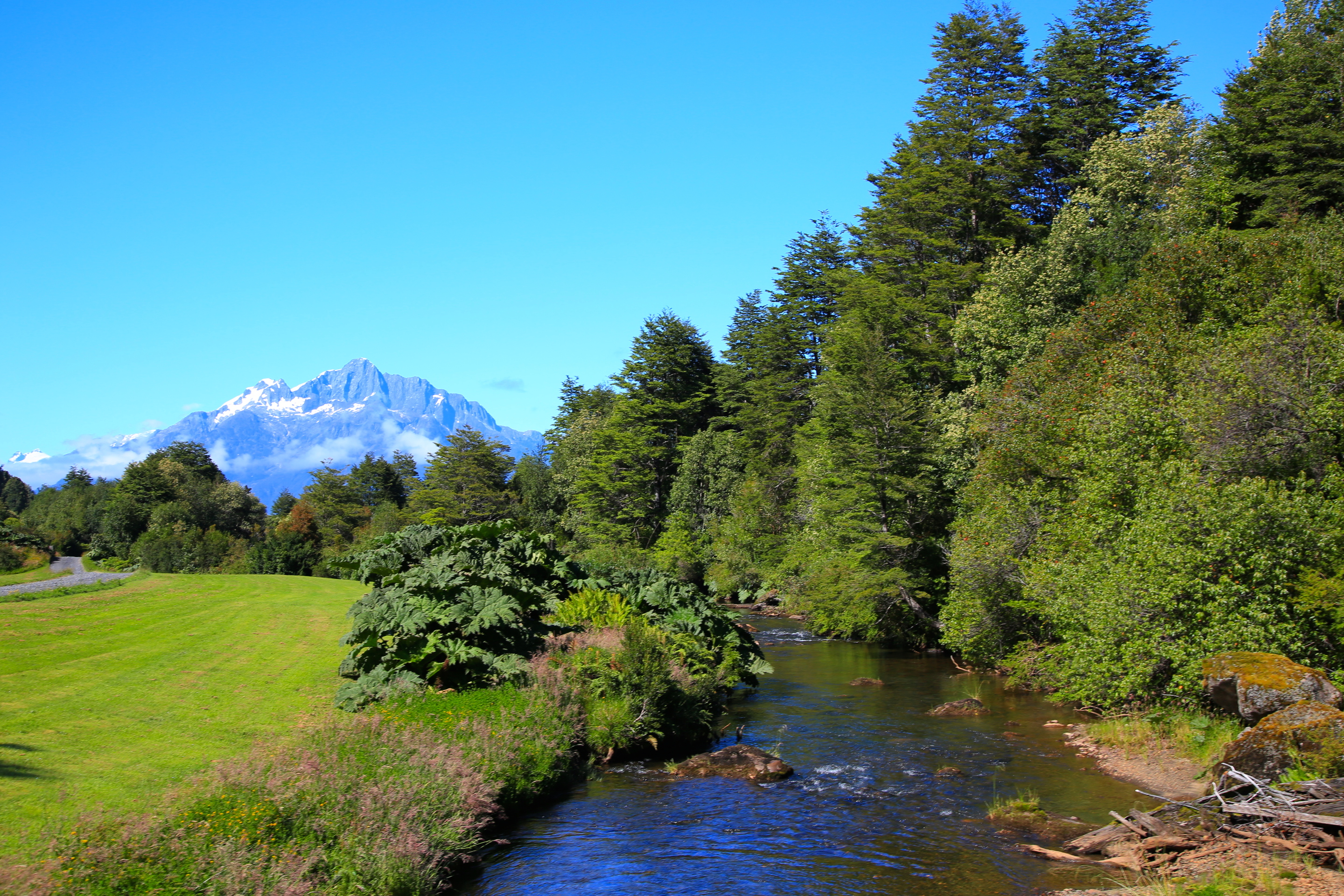
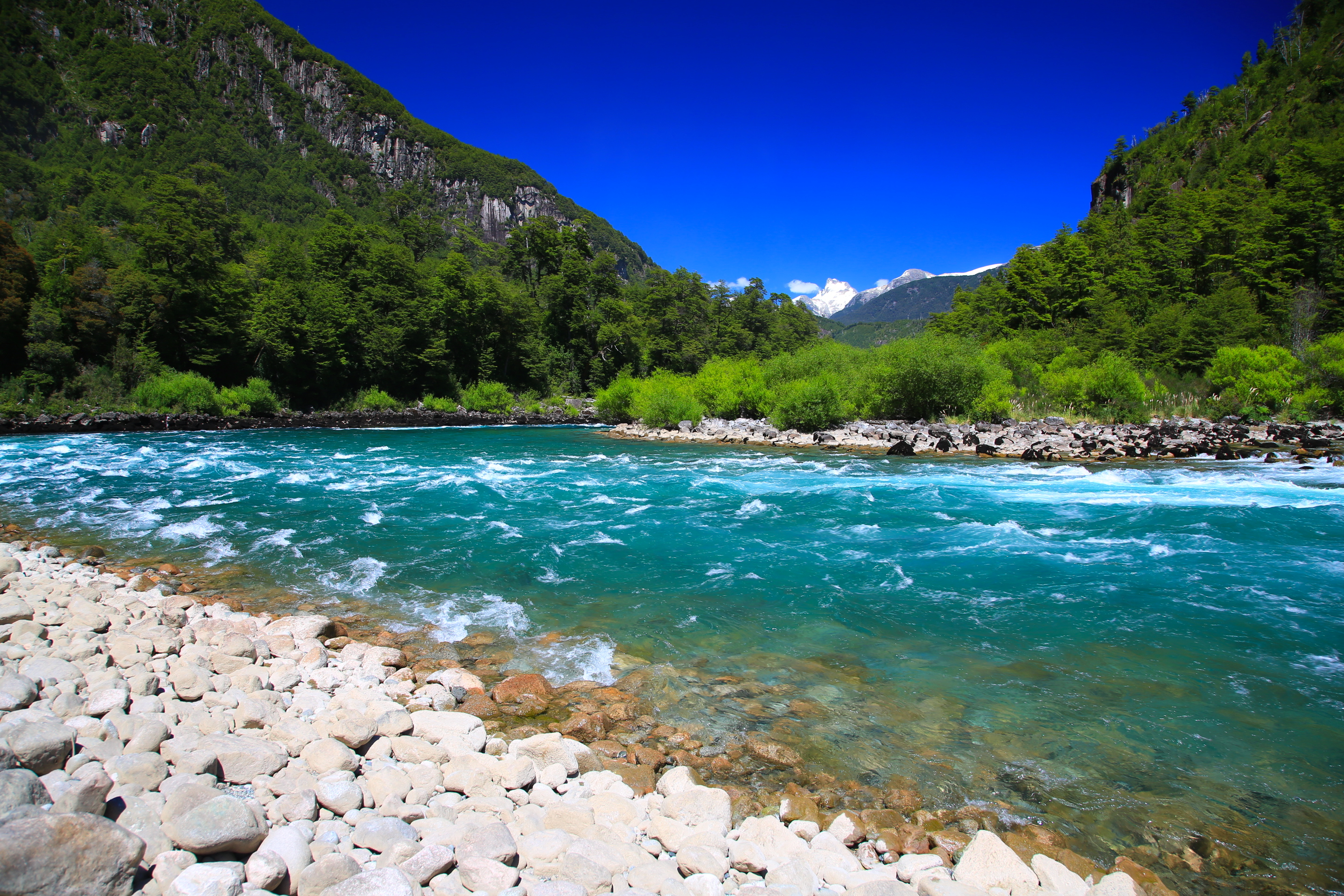
Pristine lakes with crystal clear water.
Lunch break.
Took this one out the window crossing a bridge.
And crossing another bridge.
From the Carretera Austral there are many side roads you can take, choosing which ones is hard, I think we could have explored this area for months. Our first side trip was towards the town of Futaleufu along the river of the same name known for world-class rafting and its crazy neon blue color. We went into town and looked for rafting options, but all of the companies were only doing the class II and III rapids. After rafting the Grand Canyon, we decided we really only would raft if we could find a trip down the IV and V rapids. Unfortunately, they were not running this trip when we were there. The good news is we found the most beautiful wild camp spot on the river and enjoyed the sun, swam in the river, made a huge fire that night and stayed up till way past midnight watching the stars. The river was spectacular and I can just imagine doing a multiple day trip down it could be a true adventure.

This is the actual color of the river. I call it neon blue.
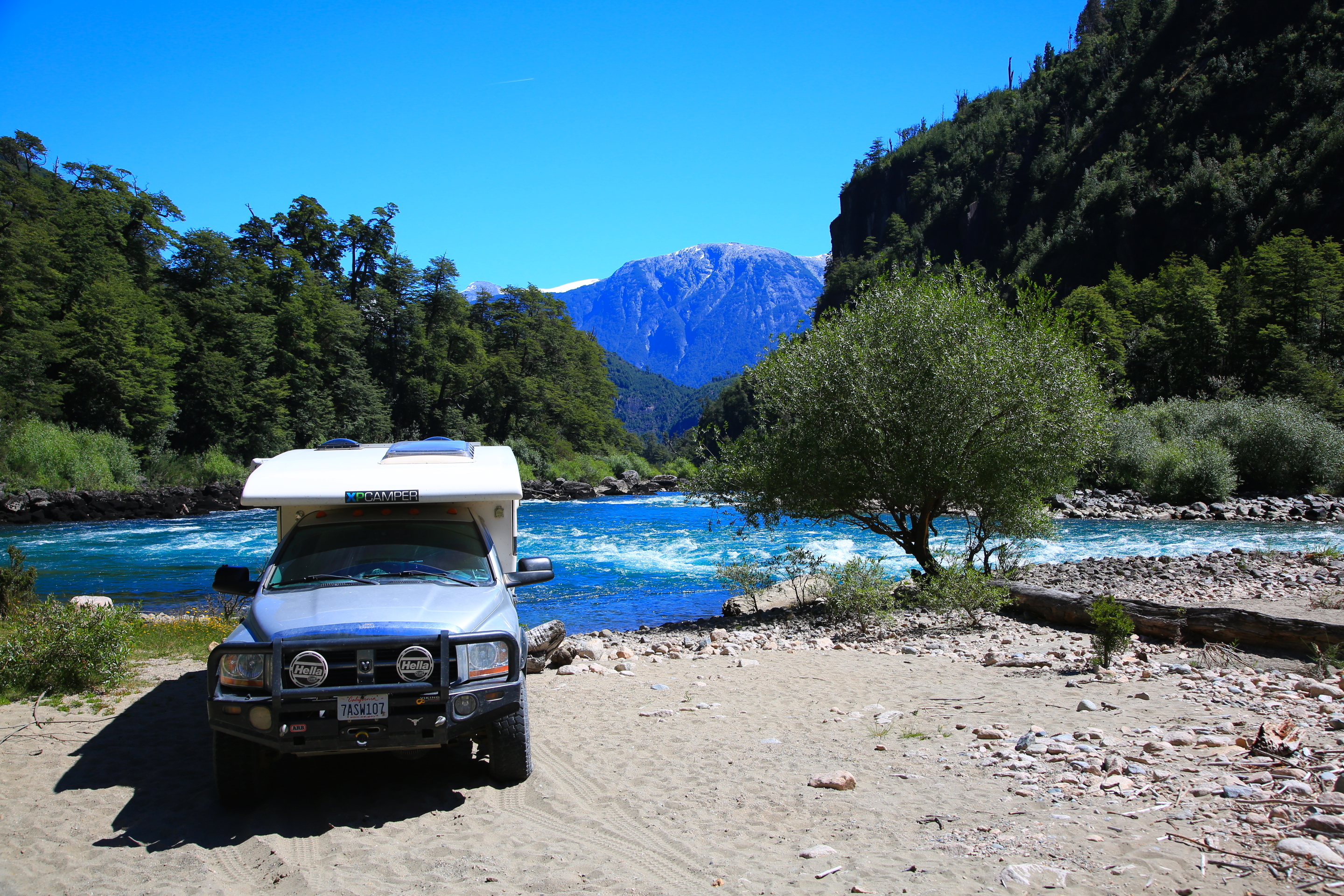
This is where we camped. I LOVED this camp spot.

More pictures of the Futaleufu. It was so clear in the areas without rapids. Stunning.
The mountains around this area have also had the wind and snow take its toll on them.
This is a place I want to come back to again one day. We are going to raft this river, just need a bit more time to plan it.
After a few days of relaxing on the river, we headed farther south down the Carretera for some glacier hikes and more eye-popping scenery.