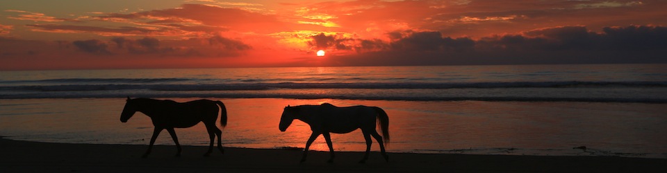

The Guajira Peninsula hugs the border of Venezuela and has the most northern point of South America. It is a wasteland desert hugging the Caribbean known for the recluse Wayuu indians that live there and it is often referred to as a no-mans land for outlaws and smugglers in guide books. Guajira (Wajirra in the Wayuu language) means the land of dreams and death, and I can’t think of a more perfect description for this magical and desolate place.
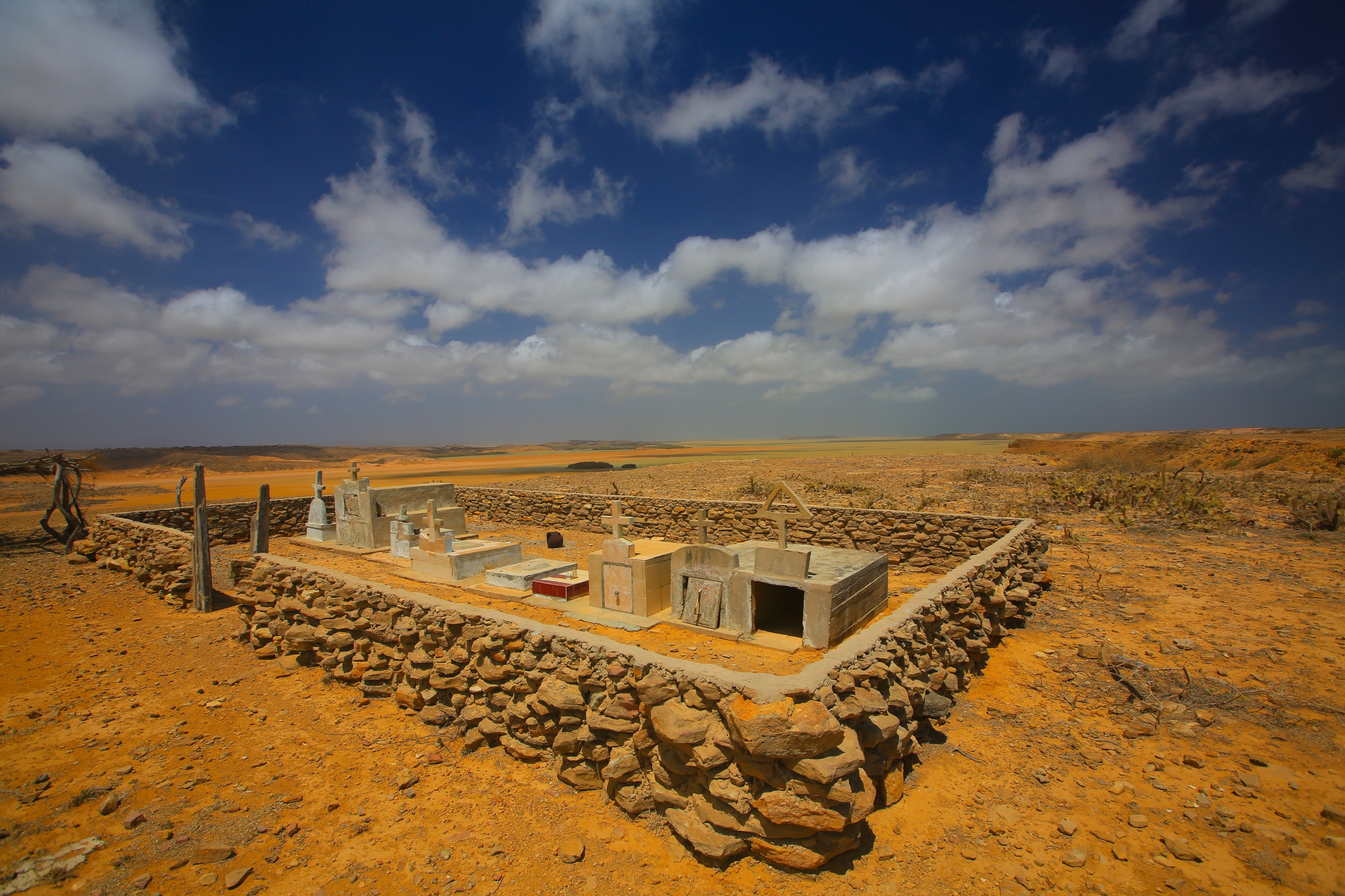
The Wayuu indians are a matrilineal society (which means land and property are controlled through the women). The women wear long colorful dresses that looked like the long loose traditional dresses of Africa. In fact, while we were in the Guajira we kept saying if felt like we were in Africa. It was by far the most exotic place we have been on this trip. In the desolate, cactus filled land, we would drive by mud huts, goat pens made of tall tree branches, and beautiful cemeteries with white headstones that would sit alone in the middle of nowhere, stark against the red dirt and blue sky. In most of the Guajira there are no roads, so it is very easy to become disoriented and get lost.
The Wayuu have two funerals. One when they die, and then another 10 years later where the oldest daughter retrieves the bones and cleans them. She has to prepare herself for a year with purification before she cleans the bones for re-burial. Being the oldest daughter, I am kind of glad I am not Wayuu…

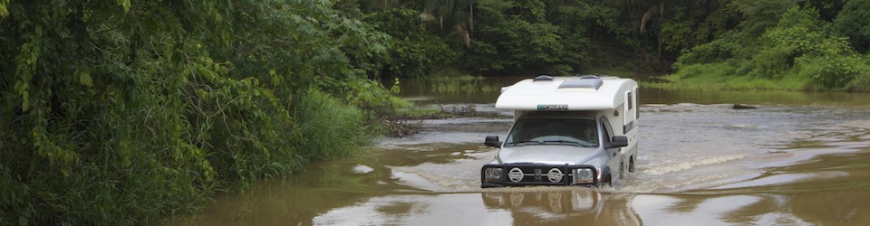
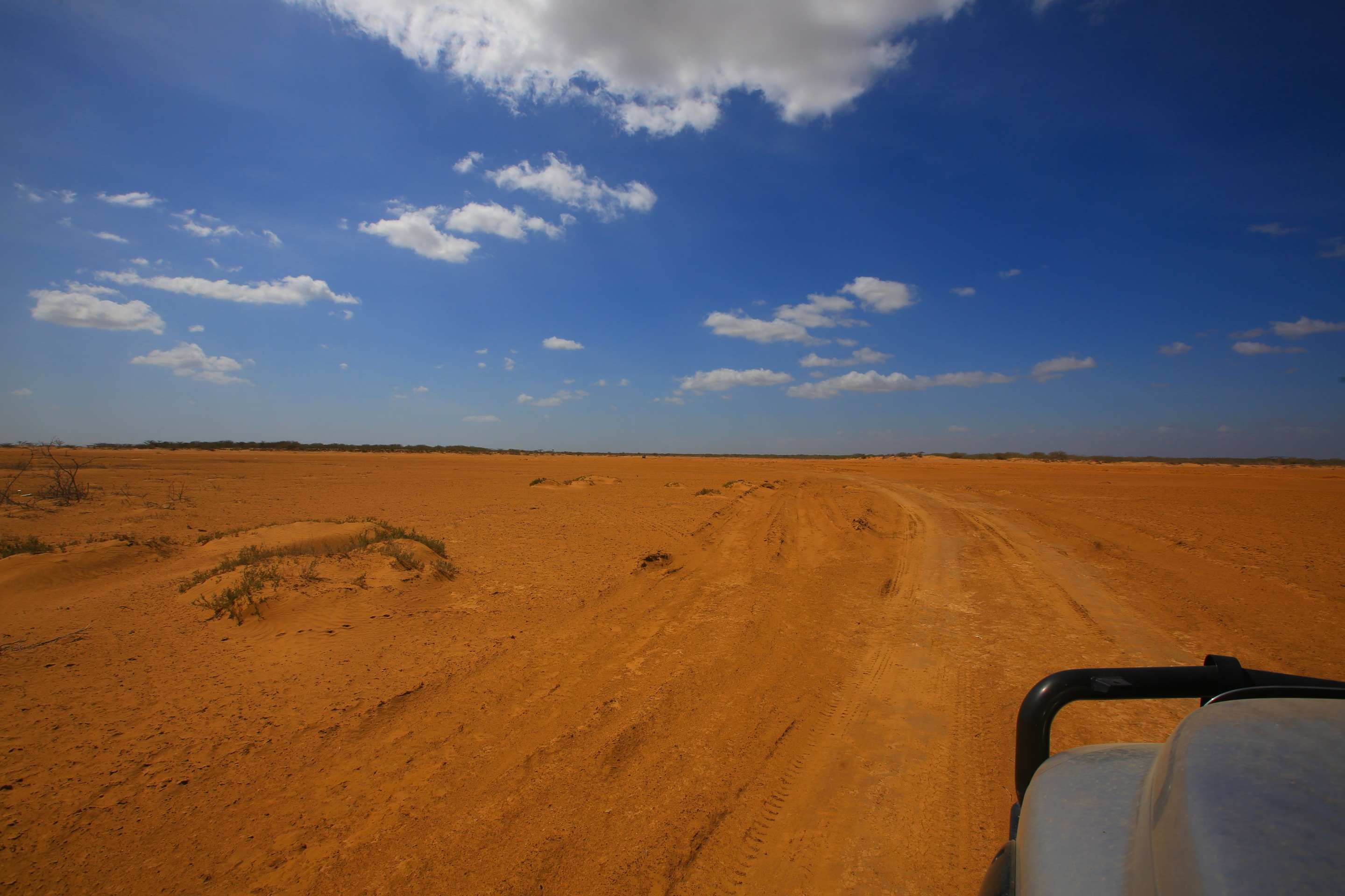
The “road” to our first days campsite. We just drove until we found a place we liked after we watched the World Cup finals at the most remote bar I have ever been to.

The mud houses of the Wayuu people.
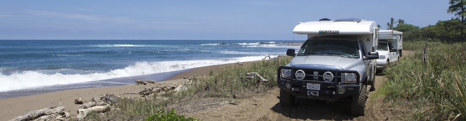
Because of the isolation going to the Guajira with your own vehicle is a true adventure and one that takes some planning and an overland companion. You really should not do this alone. Not because it is dangerous, but because you will be in the middle of nowhere, and if something happens to your vehicle, you need someone to help you out and most of the locals have only motor bikes, not ideal for towing out overland vehicles.
When I decided I wanted to explore La Guajira, I sent Toby of Carpe Viam a picture of the sand dunes and asked if they wanted to explore the area with us. About five minutes later he responded with “we are in!”, so Sam and I had a few weeks to burn on the coast of Colombia while we waited for them to cross the gap.
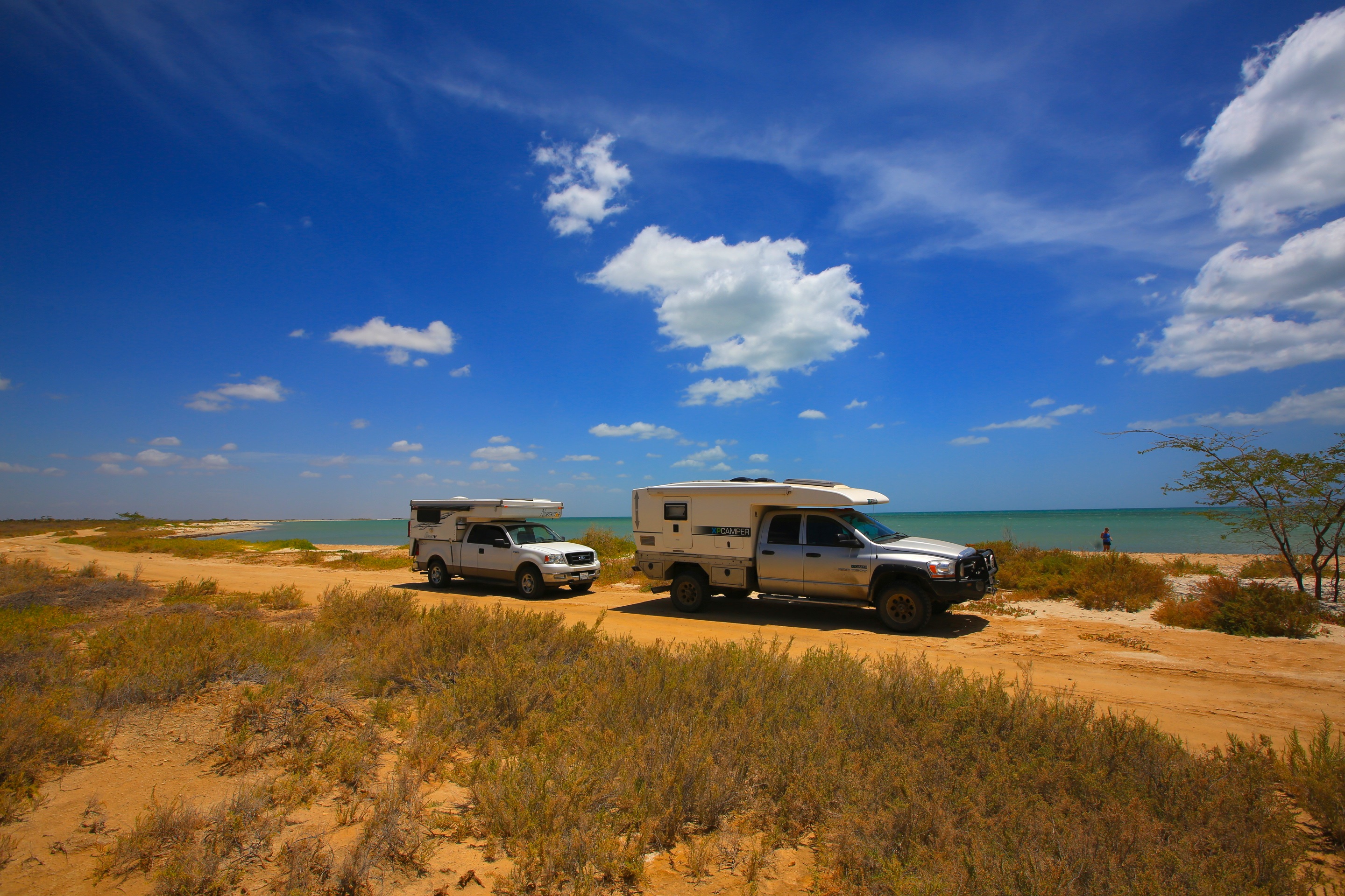
I am really glad we went with Toby and Chloe, not only was it a ton of fun, but we felt safer with two vehicles and it was also easier to navigate all the road blocks (more info later) and help each other dig out of the sand when we got stuck. All our campsites were wild camping, and even though we were in the middle of nowhere, we always had Wayuu visitors and we could kind of play tag team with the gringo show entertainment, because the Wayuu people would often show up and just sit and watch us, for hours and hours……..

Toby airing down. We did not see paved roads for seven more days.
We spent seven days in the Guajira and had to bring enough food and water for the entire time. Water is very scarce in this region, and so is fresh food other than delicious seafood you can buy from fisherman, so you need to go in prepared.

Our first night camp site reminded us of Baja, right next to the water but with flamingos near by!
This was our view for long stretches until a few days later when we started getting to the cactus and sand dunes.
In the Guajira your GPS will be useless if you really want to get off the main road and explore the Peninsula. The maps are just blank on the GPS, so you need GPX tracks. We got GPX tracks from a Colombian who does tours in the region, and without the tracks we would have gotten totally lost. Hell, we got lost with the tracks! And while getting lost is usually part of the adventure, when you have limited fuel options, you have to be careful. The GPX did not work on our GPS, so we had to download an iPhone app to run them. If you need the tracks, let us know and we will email them to you!

We were in the lead most of the trip because I was responsible for keeping us on the tracks while Sam drove. It was a lot harder than I thought it would be.
Second day we took the GPX tracks along the coast. Stunning!
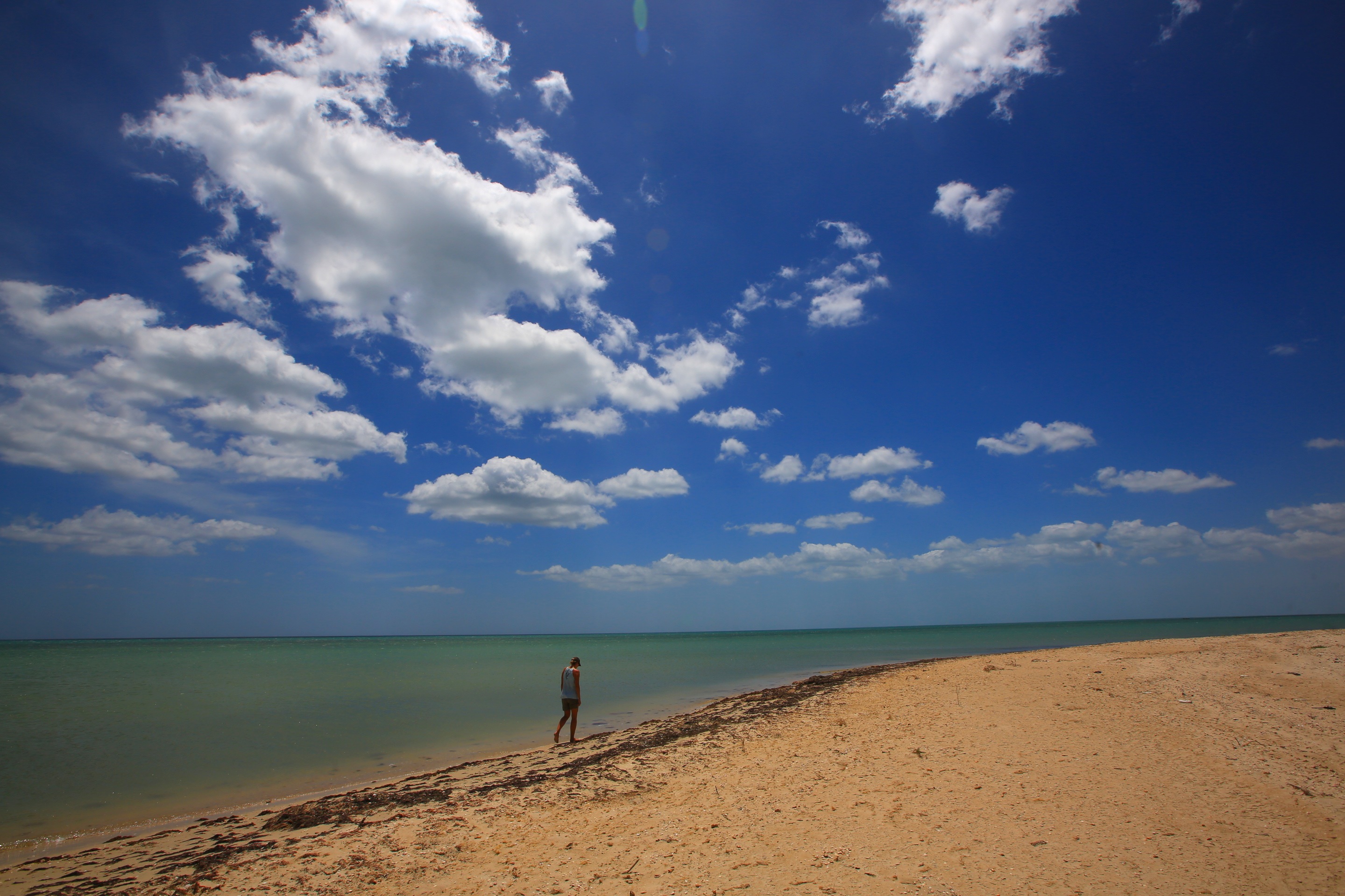
It was over 100 degrees everyday and we struggled finding good swimming beaches.

Toby and I jump in only to discover within minutes that the water was pulsing with jelly fish! So many that we quickly evacuated the water. Jellyfish were an issue at many beaches along La Guajira.
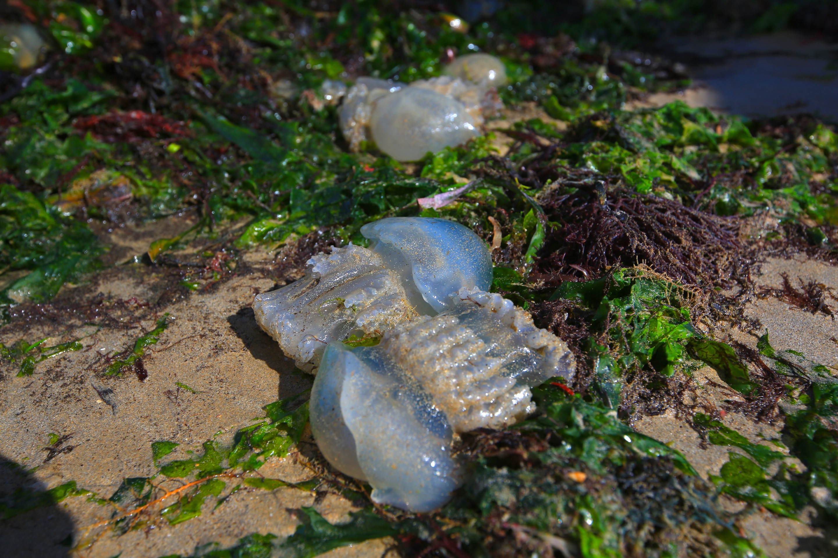
I have no idea why there were so many jellyfish here, but it made relief from the sun a challenge.
The road to Cabo de la Vela lighthouse.

The El Faro (lighthouse). the wind up here was so intense I was worried Tia (the dog) would blow off.
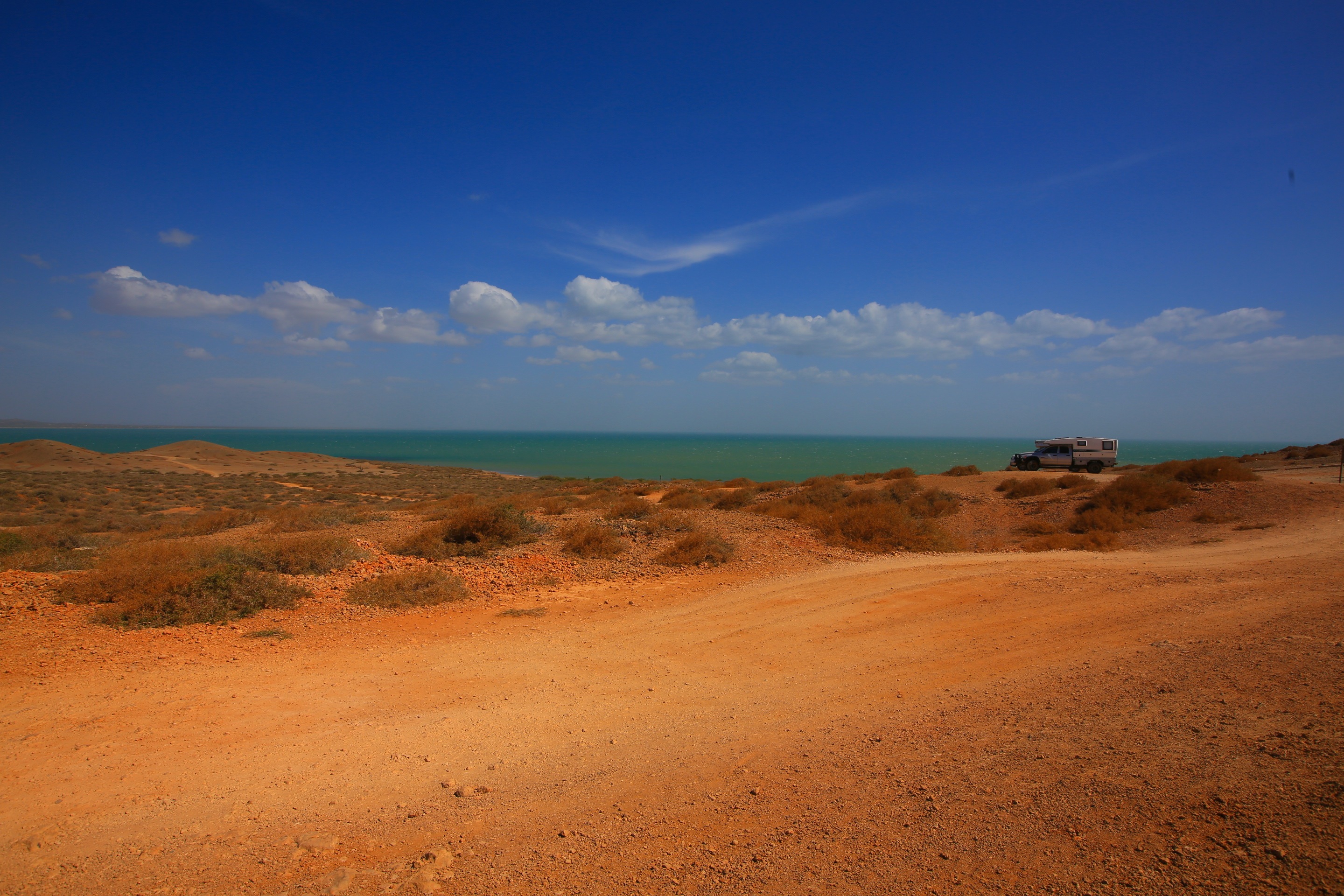
From Cabo de la Vela we went to camp for the night at Pilon de Azucar, our favorite beach on the peninsula. We found an epic camp spot on the cliff which would have been perfect if not for the wind. The wind is an issue all over the La Guajira, it is so strong that I think tent campers would have to camp inland. Next to the water was really windy, but it was where the best views were, and without the wind you started to feel the 106 degree weather!

You can see our rigs in the distance, one of the best free camp spots ever!
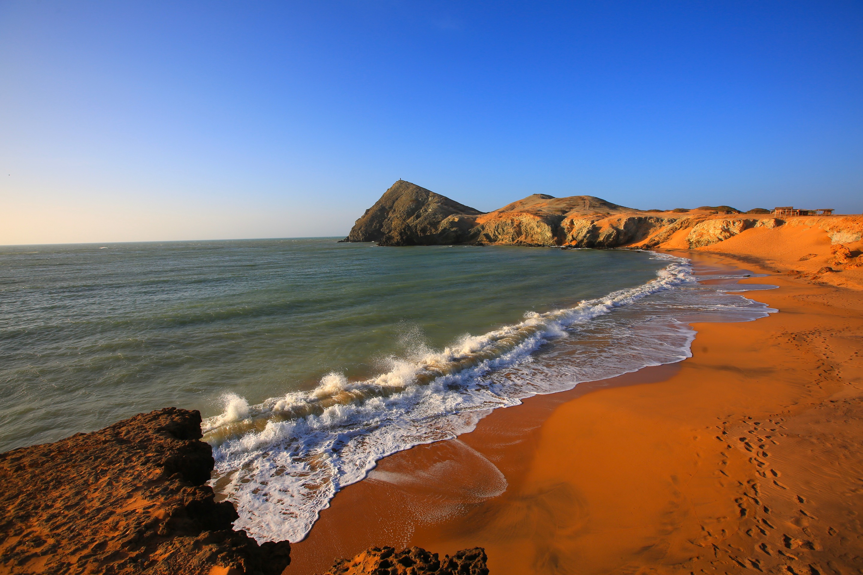
Pilon de Azucar in the distance. We all went up and hiked to the top to watch the sunset.

Last one of our epic camp site. This place was so beautiful, I felt so happy to be able to see a place like this that was so untouched and remote. Try to find our rigs =).
Toby and Chloe headed back to camp before Sam and I did. As we got closer to the rigs, Chloe came over and told me she needed to give me a hug. After she hugged me she said she had bad news. While we were all on our hike this happened:
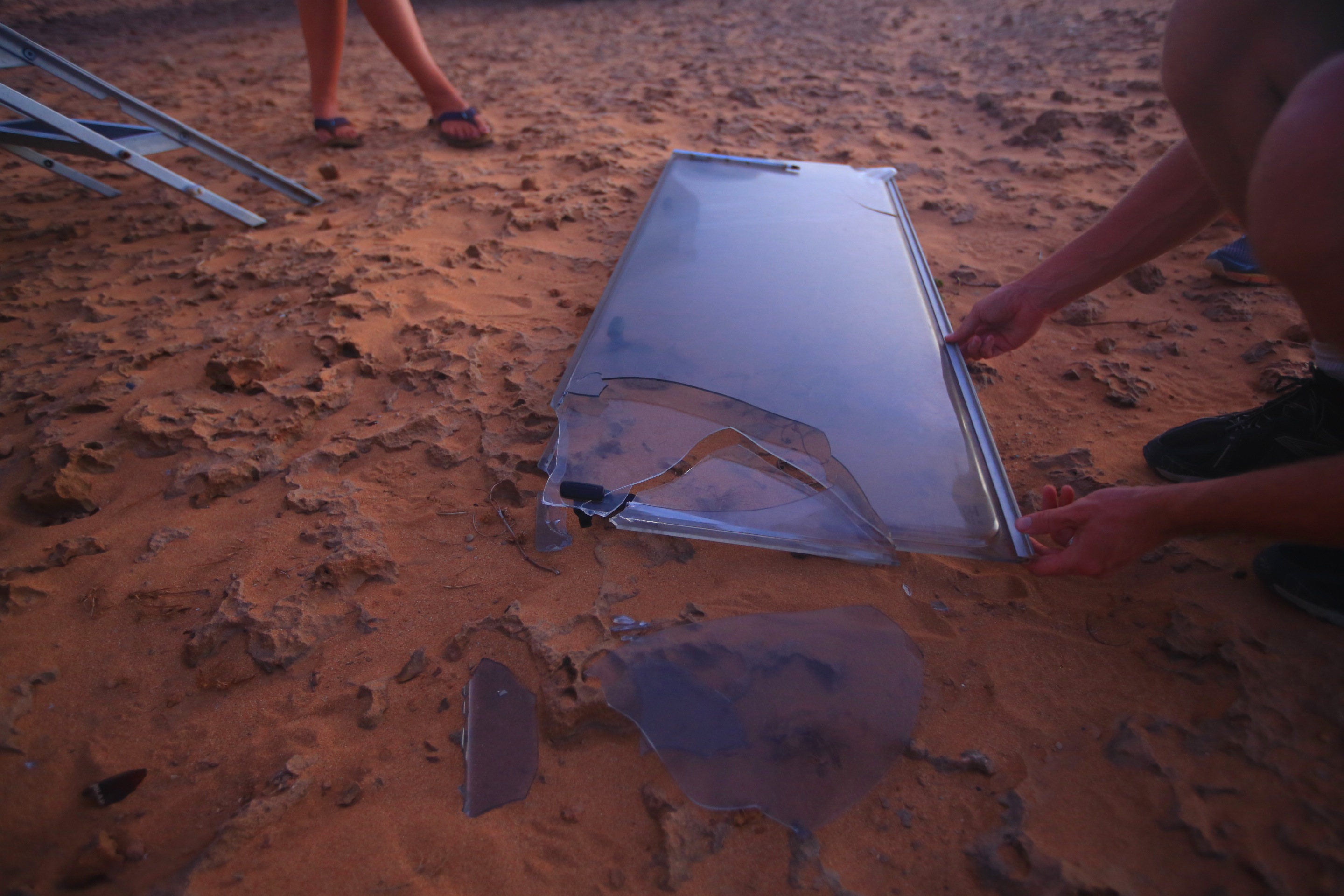
Our big, beautiful back window was a victim of the Guajira wind. Oh shit. This is not good…..
To be continued…….